Haʻena State Park, Kauai
Map
Gallery
Facts and practical information
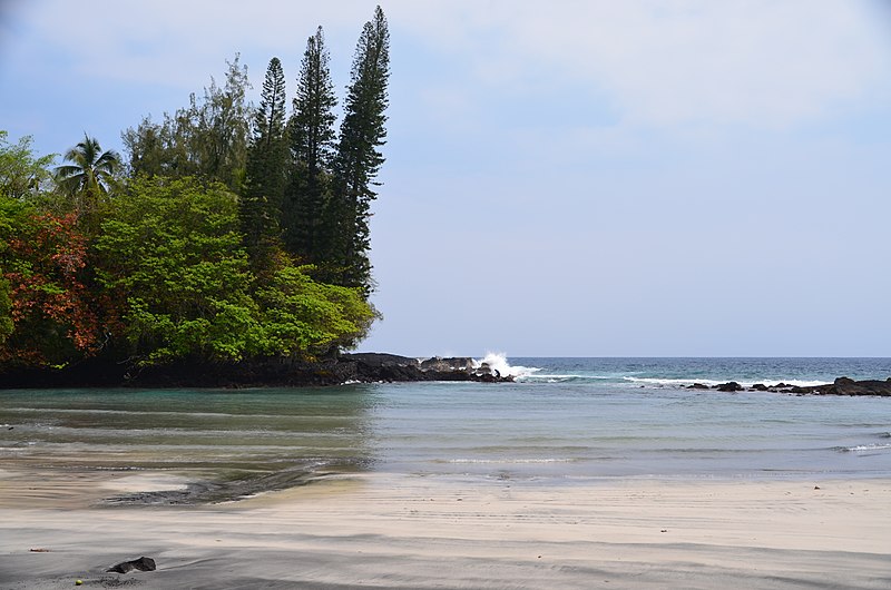
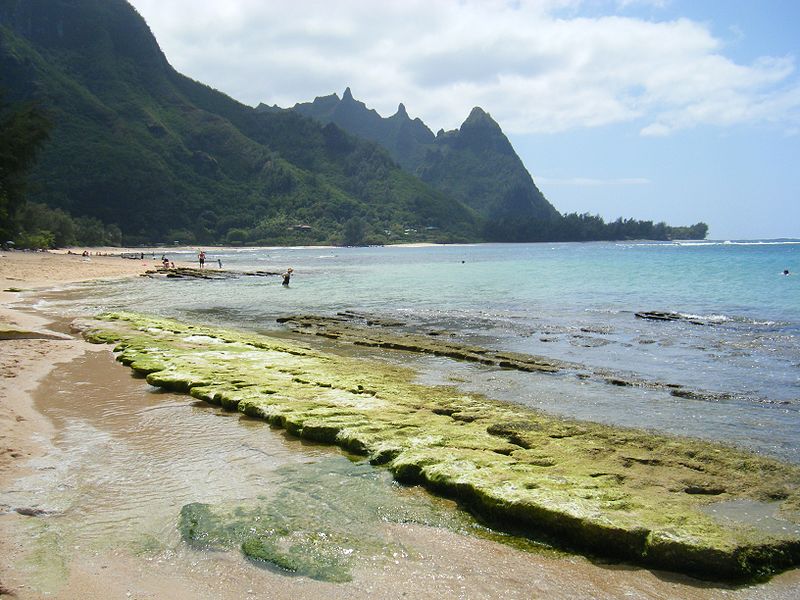
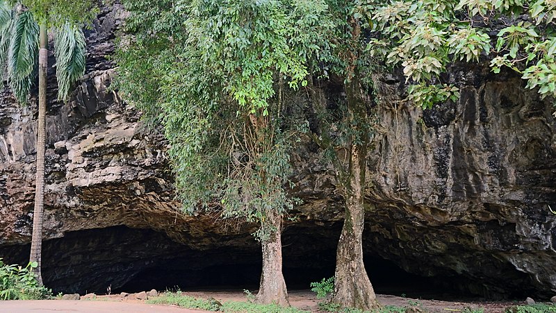
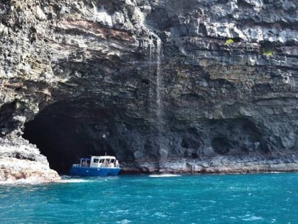
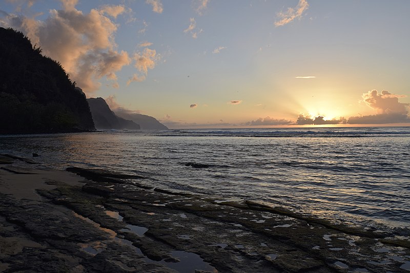
Hāʻena State Park is a state park located on the north shore of the Hawaiian island of Kauaʻi. It is often referred to as the "end of the road" and marks the end point of the Kuhio Highway. The park provides access to beaches, trails, and several ancient Hawaiian sites, including sea caves estimated to be more than 4,000 years old. Archaeological sites associated with the hula, including a heiau dedicated to Laka, are located above the park's beaches. ()
Elevation: 118 ft a.s.l.Coordinates: 22°13'16"N, 159°34'23"W
Day trips
Haʻena State Park – popular in the area (distance from the attraction)
Nearby attractions include: Kalalau Trail, Waioli Mission District, Hanakapiai Falls, Limahuli Garden and Preserve.
Frequently Asked Questions (FAQ)
Which popular attractions are close to Haʻena State Park?
Nearby attractions include Limahuli Garden and Preserve, Kauai (6 min walk), Tunnels Beach, Kauai (22 min walk).


