Carpenter Hill, Folsom

Map
Facts and practical information
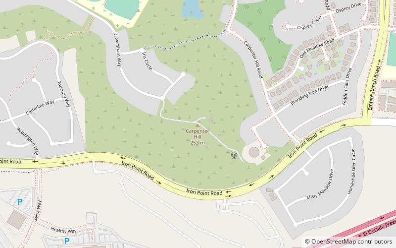
Carpenter Hill is a hill located in the eastern Sacramento Valley-Sierra Nevada foothills region of California. The hill, located within the city limits of Folsom, near the Sacramento / El Dorado county line and north of U.S. Route 50, rises to an elevation of 831 feet. Despite its low elevation, the hill is the county highpoint of Sacramento County and thus the summit offers expansive views of the Central Valley. ()
Elevation: 831 ftProminence: 168 ftCoordinates: 38°38'57"N, 121°5'60"W
Address
BroadstoneFolsom
ContactAdd
Social media
Add
Day trips
Carpenter Hill – popular in the area (distance from the attraction)
Nearby attractions include: Folsom Powerhouse State Historic Park, Sacramento California Temple, Folsom History Museum, Folsom City Zoo Sanctuary.


