Potholes State Park, Moses Lake
Map

Map

Facts and practical information
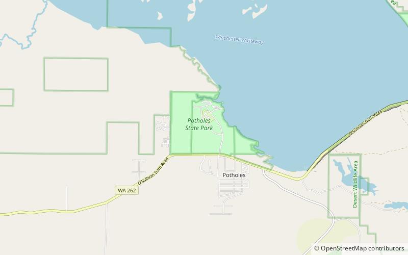
Potholes State Park is a public recreation area on the southern shore of Potholes Reservoir, located 13 miles south of Moses Lake and 13 miles northwest of Othello in Grant County, Washington. The state park was created following the completion of the O'Sullivan Dam in 1949. The park's 773 acres include 6,000 feet of shoreline and facilities for camping, hiking, boating, swimming, fishing, and other water activities. ()
Established: 1949 (77 years ago)Elevation: 1056 ft a.s.l.Coordinates: 46°58'37"N, 119°21'14"W
