Tomahawk Lake, Northern Highland-American Legion State Forest
Map
Facts and practical information
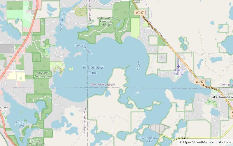
Tomahawk Lake is a lake in Oneida County, Wisconsin, United States. The lake covers an area of 3,392 acres and has a maximum depth of 84 feet. The community of Lake Tomahawk is located on the eastern edge of the lake. Tomahawk Lake was so named from the fact its outline resembles a tomahawk. ()
Maximum depth: 84 ftElevation: 1611 ft a.s.l.Coordinates: 45°49'26"N, 89°39'23"W
Address
Northern Highland-American Legion State Forest
ContactAdd
Social media
Add
Day trips
Tomahawk Lake – popular in the area (distance from the attraction)
Nearby attractions include: Wind Pudding Lake State Natural Area.
