Lake Ouachita, Ouachita National Forest

Gallery (2)
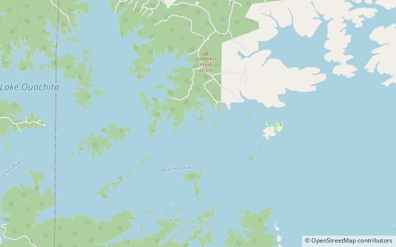
Map

Map
Gallery
Facts and practical information
Lake Ouachita is a reservoir created by the damming of the Ouachita River by Blakely Mountain Dam. ()
Area: 61.78 mi²Maximum depth: 200 ftElevation: 571 ft a.s.l.Coordinates: 34°36'19"N, 93°21'16"W
Address
Ouachita National Forest
ContactAdd
Social media
Add
Day trips
Lake Ouachita – popular in the area (distance from the attraction)
Nearby attractions include: Buckville Cemetery.
