Windom, Minneapolis

Map
Facts and practical information
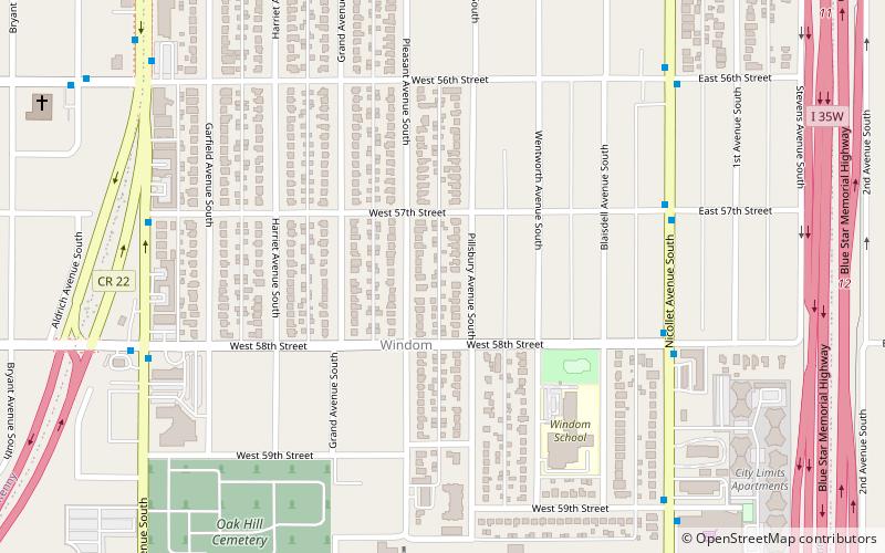
The Windom neighborhood is located in the Southwest community of Minneapolis. Its borders are Diamond Lake Road and West 54th Street to the north, Interstate 35W to the east, West 62nd Street to the south, and Lyndale Avenue South and Highway 121 to the west. ()
Area: 0.75 mi²Coordinates: 44°53'56"N, 93°16'57"W
Day trips
Windom – popular in the area (distance from the attraction)
Nearby attractions include: Cottontail on the Trail, The Museum of Russian Art, Washburn Library, Washburn Park Water Tower.
Frequently Asked Questions (FAQ)
Which popular attractions are close to Windom?
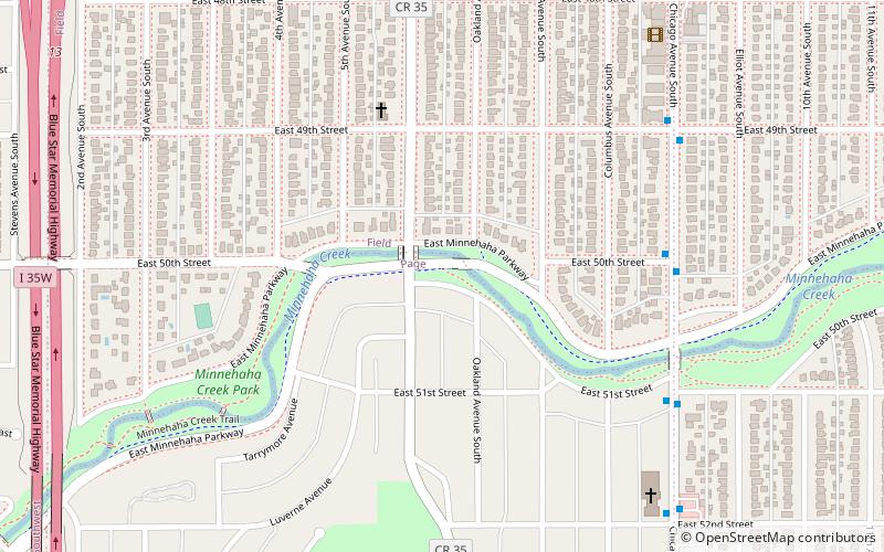
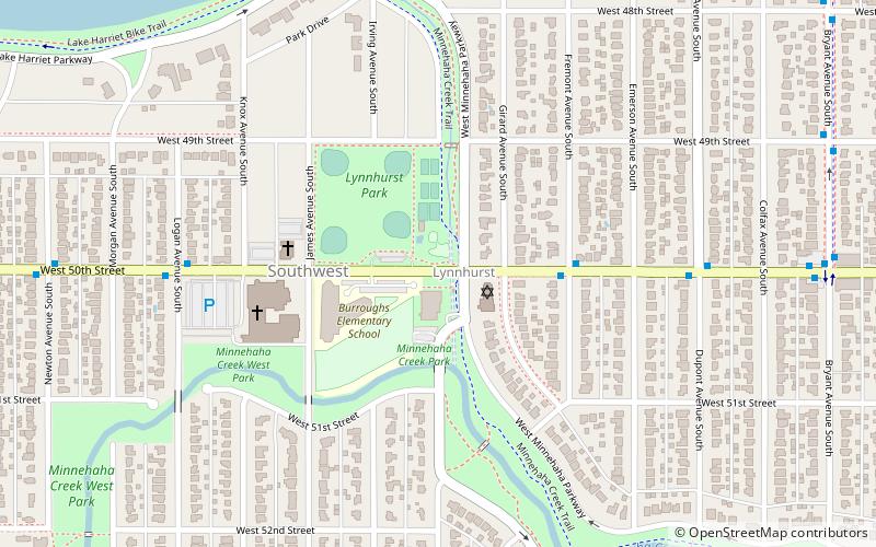
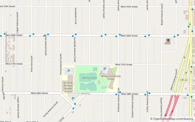
Nearby attractions include The Museum of Russian Art, Minneapolis (12 min walk), Washburn Library, Minneapolis (17 min walk), Kenny, Minneapolis (18 min walk), Washburn Park Water Tower, Minneapolis (22 min walk).
How to get to Windom by public transport?
The nearest stations to Windom:
Bus
Bus
- 57 St W • Lines: 4, 4B, 4G (8 min walk)
- 58 St W • Lines: 4, 4B, 4G (8 min walk)


