Helton Creek Falls, Blairsville
#2 among attractions in Blairsville


Facts and practical information
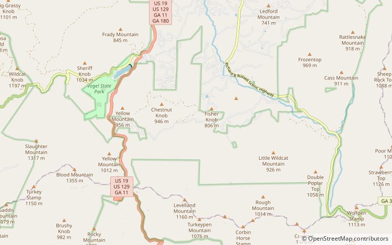
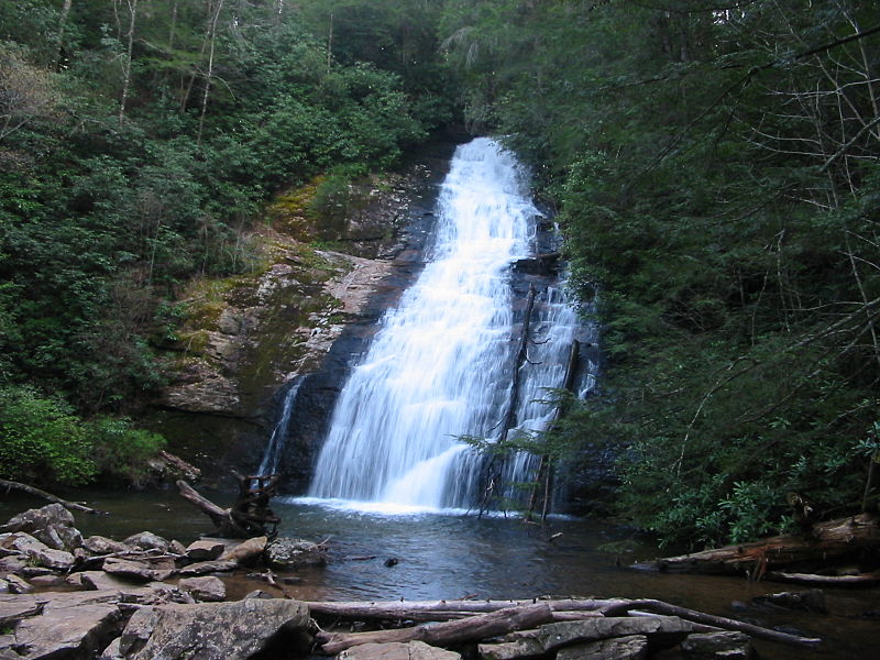
Helton Creek Falls is a series of two big waterfalls located within the Chattahoochee National Forest in Union County, Georgia. ()
Helton Creek Falls – popular in the area (distance from the attraction)
Nearby attractions include: Lake Trahlyta Spillway, Blood Mountain, Wildcat Mountain, Raven Cliff Falls.
 Waterfall
Lake Trahlyta Spillway, Blairsville
44 min walk • Lake Trahlyta Spillway is a waterfall located in Union County, Georgia, United States. It is located within Vogel State Park. It is named for Trahlyta, a Cherokee maiden who is buried a few miles from the park at Stonepile Gap.
 Natural attraction, Mountain
Blood Mountain, Blood Mountain Wilderness
109 min walk • Blood Mountain is the highest peak on the Georgia section of the Appalachian Trail and the sixth-tallest mountain in Georgia, with an elevation of 4,458 feet.
 Natural attraction, Mountain
Wildcat Mountain, Raven Cliffs Wilderness
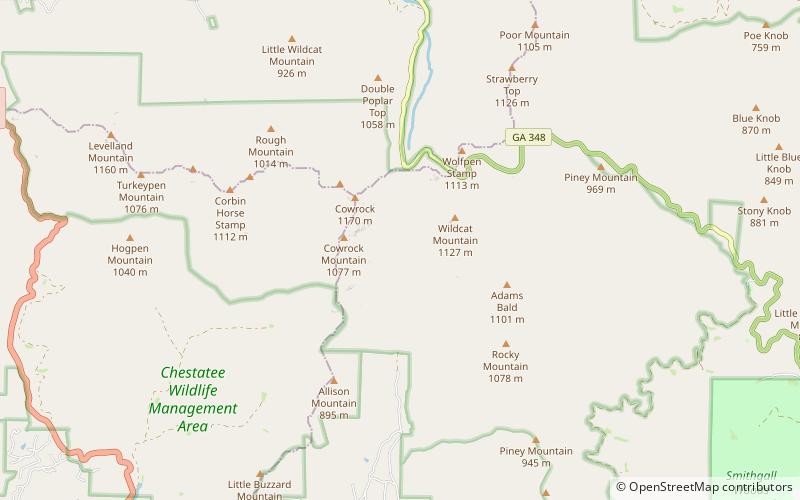
100 min walk • Wildcat Mountain, with an elevation of 3,760 feet, has the distinction of being the highest peak in White County, Georgia, United States but not the highest point in the county. The boundary line between White County and Towns County bisects Tray Mountain, but leaves the summit of the mountain in Towns County.
 Natural attraction, Waterfall
Raven Cliff Falls, Raven Cliffs Wilderness
95 min walk • Raven Cliff Falls are located in White County, Georgia on a creek that joins Dodd Creek. The waterfall consists of three drops, a 60-foot drop, followed by a 20-foot drop into a deep pool, followed by a cascade of 20 feet to Dodd Creek.
 Forest, Natural attraction, Lake
Lake Winfield Scott, Coosa Bald National Scenic Area
120 min walk • Lake Winfield Scott is an 18-acre mountain lake located 10 miles south of Blairsville, Georgia in Union County. The lake, which is owned and managed by the U.S. Forest Service, is the source of Cooper Creek.
 Nature, Natural attraction, Waterfall
DeSoto Falls, Helen
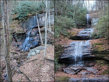
71 min walk • The DeSoto Falls of Georgia are located in Lumpkin County, Georgia along Frogtown Creek. There are actually three waterfalls on Frogtown Creek, called Upper DeSoto Falls, Middle Desoto Falls and Lower DeSoto Falls.
 Natural attraction, Mountain
Cowrock Mountain, Raven Cliffs Wilderness
78 min walk • Cowrock Mountain is a mountain that is located in Lumpkin and White counties in Georgia. The mountain forms a north/south ridge.
 Natural attraction, Mountain
Levelland Mountain, Raven Cliffs Wilderness
40 min walk • Levelland Mountain is the highest point in the Raven Cliffs Wilderness in Lumpkin and Union counties, Georgia. The mountain is traversed by the Appalachian Trail and is in the Chattahoochee National Forest.
 Natural attraction, Mountain
Horsetrough Mountain, Mark Trail Wilderness
148 min walk • Horsetrough Mountain, with a summit elevation of 4,045 feet, is located in Union and White counties in northeastern Georgia, USA. It is also within the boundaries of the Chattahoochee National Forest and is part of the Mark Trail Wilderness.
 Locality
Vogel State Park
52 min walk • Vogel State Park is a 233-acre or 94 hectares state park located at the base of Blood Mountain in the Chattahoochee National Forest. It became one of the first two parks in Georgia when it founded a state park system in 1931. Much of the park was constructed by the Civilian Conservation Corps during the 1930s.
