The Henley Bridge, Knoxville

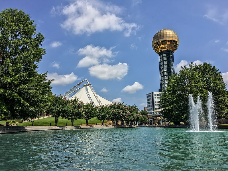
Gallery (1)
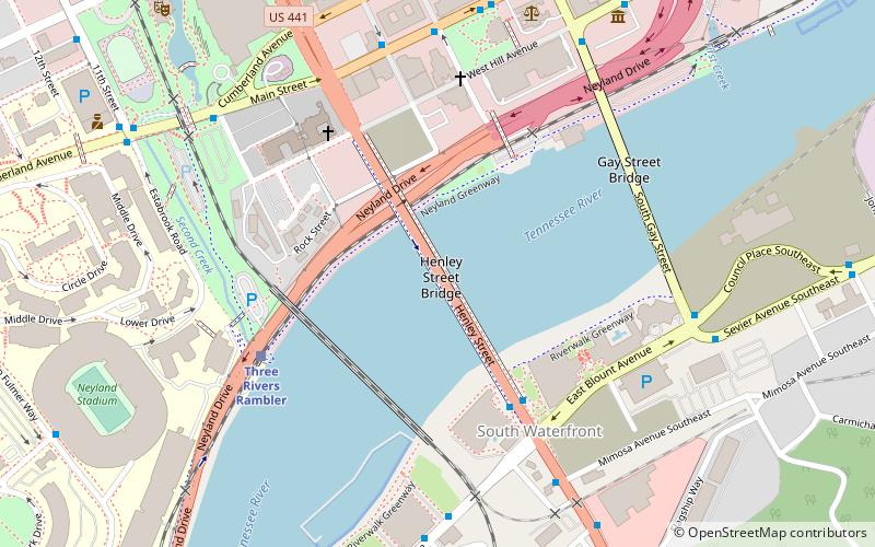
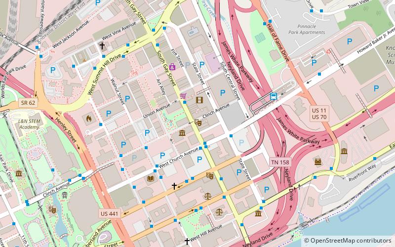
Map
Map
Facts and practical information
The Henley Bridge, sometimes referred to as Henley Street Bridge, is a vehicle bridge that crosses the Tennessee River in Knoxville, Tennessee, United States. Completed in 1931, the 1,793-foot bridge is one of four vehicle bridges connecting Downtown Knoxville with South Knoxville, the other three being the Gay Street Bridge, the Buck Karnes Bridge, named for James Ernest Karnes, and the James C. Ford Memorial Bridge. The bridge carries U.S. Route 441, which is known as "Henley Street" in downtown Knoxville and "Chapman Highway" in South Knoxville. ()
Coordinates: 35°57'25"N, 83°55'6"W
Address
Downtown KnoxvilleKnoxville
ContactAdd
Social media
Add
Getting there by public transportation
Public transportation stops near this location
- Bus
- Train
 Bus
Bus
- Calculate routeChapman Hwy at the Henley Bridge Northbound 5 min walk
- Calculate routeLocust St.@Main St. Sb 7 min walk
- Calculate routeChapman Hwy SB @ Mimosa Ave 7 min walk
- Calculate routeThree Rivers Rambler 6 min walk
- Calculate routeJackson Terminal 23 min walk
Day trips
The Henley Bridge – popular in the area (distance from the attraction)
Nearby attractions include: World's Fair Park, Neyland Stadium, Knoxville Civic Coliseum, Thompson–Boling Arena.


Frequently Asked Questions (FAQ)
Which popular attractions are close to The Henley Bridge?
Nearby attractions include Volunteer Landing, Knoxville (4 min walk), Church Street United Methodist Church, Knoxville (6 min walk), First Baptist Church, Knoxville (6 min walk), Gay Street Bridge, Knoxville (7 min walk).
How to get to The Henley Bridge by public transport?
The nearest stations to The Henley Bridge:
Bus
Train
Bus
- Chapman Hwy at the Henley Bridge Northbound • Lines: 44 (5 min walk)
- Locust St.@Main St. Sb • Lines: Green Line Trolley, Orange Line Trolley (7 min walk)
Train
- Three Rivers Rambler (6 min walk)
- Jackson Terminal (23 min walk)