Melrose Highlands, Melrose
Map

Map

Facts and practical information
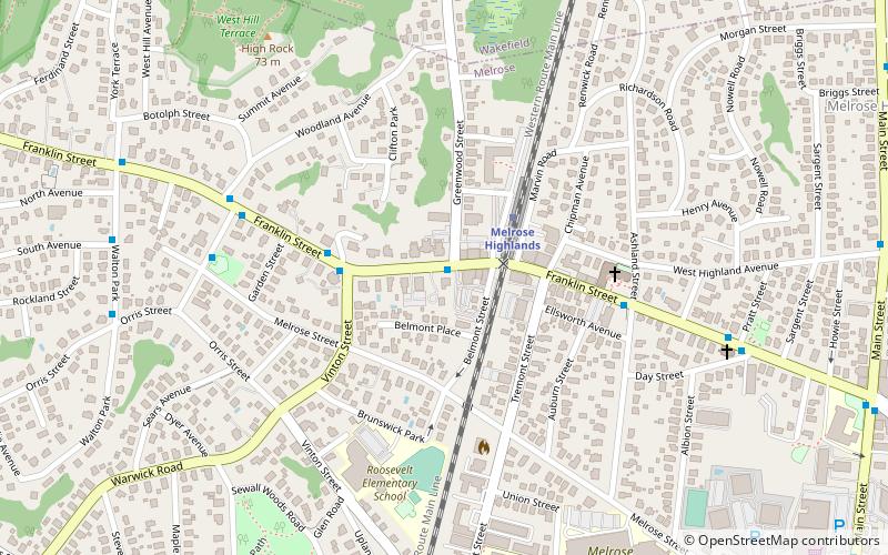
Melrose Highlands is one of the oldest neighborhoods in the city of Melrose, Massachusetts. Formerly part of neighboring Stoneham, it became part of Melrose in the latter part of the nineteenth century. There were some addresses that had the zip code 02177, before the Highlands post office was closed; the Melrose zip code of 02176 is now used, although mail marked as 02177 is still deliverable. ()
Coordinates: 42°28'7"N, 71°4'11"W
Day trips
Melrose Highlands – popular in the area (distance from the attraction)
Nearby attractions include: Stone Zoo, Greenwood Union Church, Trinity Episcopal Church, Beebe Estate.
Frequently Asked Questions (FAQ)
Which popular attractions are close to Melrose Highlands?
Nearby attractions include Jonathan Green House, Stoneham (15 min walk), Trinity Episcopal Church, Melrose (17 min walk), Melrose Public Library, Melrose (17 min walk), Beebe Estate, Melrose (23 min walk).
How to get to Melrose Highlands by public transport?
The nearest stations to Melrose Highlands:
Train
Train
- Melrose Highlands (3 min walk)
- Melrose/Cedar Park (18 min walk)


