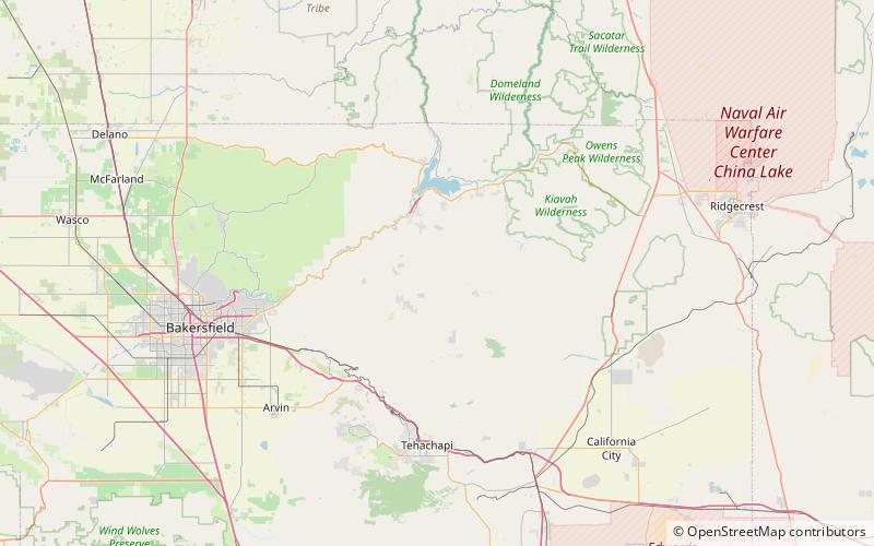
Brown Peak, Sequoia National Forest

Map
Facts and practical information
Brown Peak is a peak located in Kern County, California. The peak is located on King Solomons Ridge at the head of Haight Canyon, 2.1 miles southwest of Liebel Peak and 12.5 miles north of Loraine, California in Sequoia National Forest. ()
Elevation: 8095 ftCoordinates: 35°29'4"N, 118°25'26"W
Address
Sequoia National Forest
ContactAdd
Social media
Add