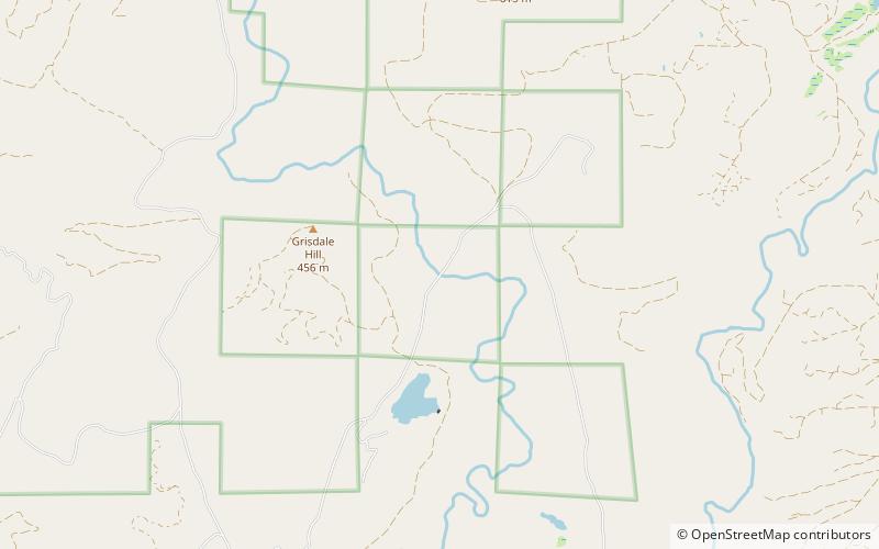
High Steel Bridge, Olympic National Forest
Map

Map

Facts and practical information
The High Steel Bridge is a truss arch bridge that spans the south fork of the Skokomish River, on National Forest Service road #2340 in Mason County, Washington, near the city of Shelton. The bridge is 685 feet long, and its deck is 375 feet above the river. ()
Opened: 1929 (97 years ago)Length: 685 ftHeight: 375 ftCoordinates: 47°22'5"N, 123°16'48"W
Address
Olympic National Forest
ContactAdd
Social media
Add
Day trips
High Steel Bridge – popular in the area (distance from the attraction)
Nearby attractions include: Satsop Hills.

