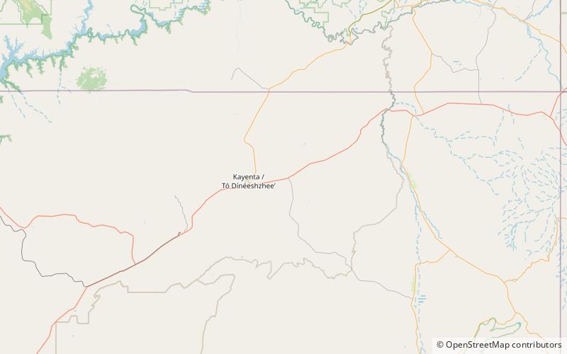
Church Rock, Kayenta
Map

Map

Facts and practical information
Church Rock is a pillar in Navajo County, Arizona. It is located near the mouth of Church Rock Valley with a summit elevation of 5,862 feet. It is situated 7.5 miles east of the community of Kayenta, on Navajo Nation land, and can be seen from Highway 160 as it rises 400 feet above Church Rock Valley. It is one of the eroded volcanic plugs, or diatremes, of the Navajo Volcanic Field, which is a volcanic field that includes intrusions and flows of minette and other unusual igneous rocks which formed around 30 million years ago during the Oligocene. ()
Elevation: 5862 ftProminence: 472 ftCoordinates: 36°44'4"N, 110°7'8"W
Address
Kayenta
ContactAdd
Social media
Add
