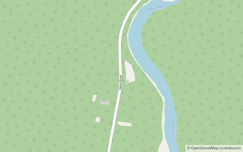
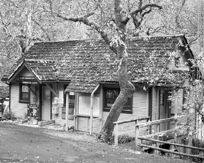
Rand Ranger Station, Casey State Recreation Site

Gallery (2)
Map
Map
Gallery
Facts and practical information
The Rand Ranger Station is a Bureau of Land Management compound consisting of eight historic buildings located in the Rogue River-Siskiyou National Forest in southwest Oregon. It was built by the United States Forest Service and the Civilian Conservation Corps as a district ranger station for the Galice Ranger District. The ranger station property was transferred to the Bureau of Land Management in 1970. Today, the ranger station office serves as a visitor center. The Rand Ranger Station is listed on the National Register of Historic Places. ()
Built: 1931 (95 years ago)Coordinates: 42°35'51"N, 123°35'6"W
Address
Casey State Recreation Site
ContactAdd
Social media
Add
Day trips
Rand Ranger Station – popular in the area (distance from the attraction)
Nearby attractions include: Indian Mary Park.
