Hope Island, Portland
Facts and practical information
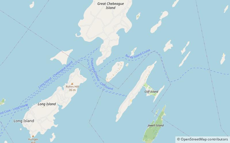
Hope Island is a privately owned island in Casco Bay near the city of Portland, Maine, United States. It is a part of the Town of Chebeague Island, in Cumberland County. The 89-acre island was considered for an LNG terminal. Developer John Cacoulidis and his wife Phyllis bought the island in 1993. In addition to the existing 10,000 sq. ft. house built in 1913 with nine bedrooms, seven bathrooms and five fireplaces, the Cacoulidises built there a separate 3,300-square-foot guest house, a boathouse with an apartment, and roads looping the island. They've also erected horse stables, a chicken coop, a garage and their own church, and for access both a boat dock and a helicopter pad. In a dispute over property taxes, the two part-time residents attempted but failed in a legislative effort to secede from the town of Cumberland. ()
Portland
- Ferry
 Ferry
Ferry
- Calculate routeCliff Island Landing 21 min walk
- Calculate routeChandler Cove Landing 23 min walk


Frequently Asked Questions (FAQ)
How to get to Hope Island by public transport?
Ferry
- Cliff Island Landing (21 min walk)
- Chandler Cove Landing (23 min walk)