Horsetail Falls, Lake Tahoe Basin Management Unit
Map

Gallery

Facts and practical information
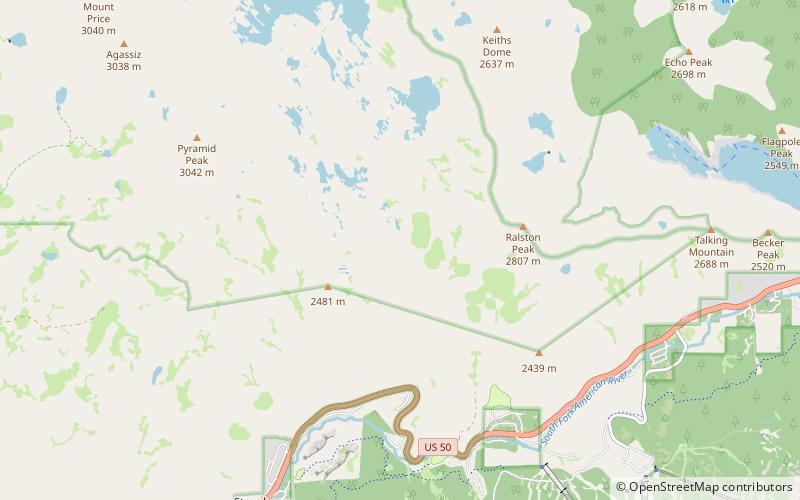
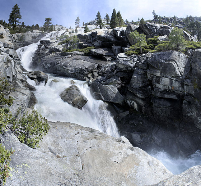
Horsetail Falls is a waterfall in the Sierra Nevada mountain range, to the west of Lake Tahoe in the Desolation Wilderness of El Dorado County, California, United States. It falls in stages for nearly 500ft. It can be reached by hiking north out of the Twin Bridges trailhead on U.S. Route 50. There is a forest service parking area designated to the area. ()
Coordinates: 38°49'48"N, 120°7'23"W
Address
Lake Tahoe Basin Management Unit
ContactAdd
Social media
Add
Day trips
Horsetail Falls – popular in the area (distance from the attraction)
Nearby attractions include: Sierra-at-Tahoe, Angora Lakes, Waca Lake, Lake Aloha.


