Museum District, Richmond
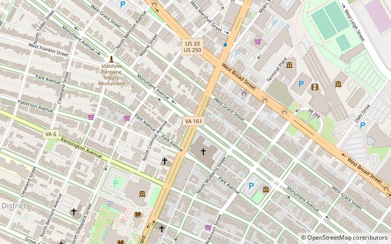
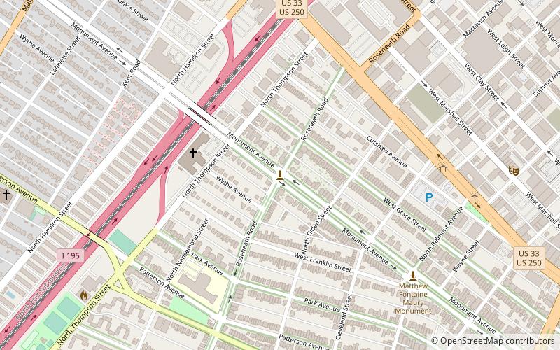
Map
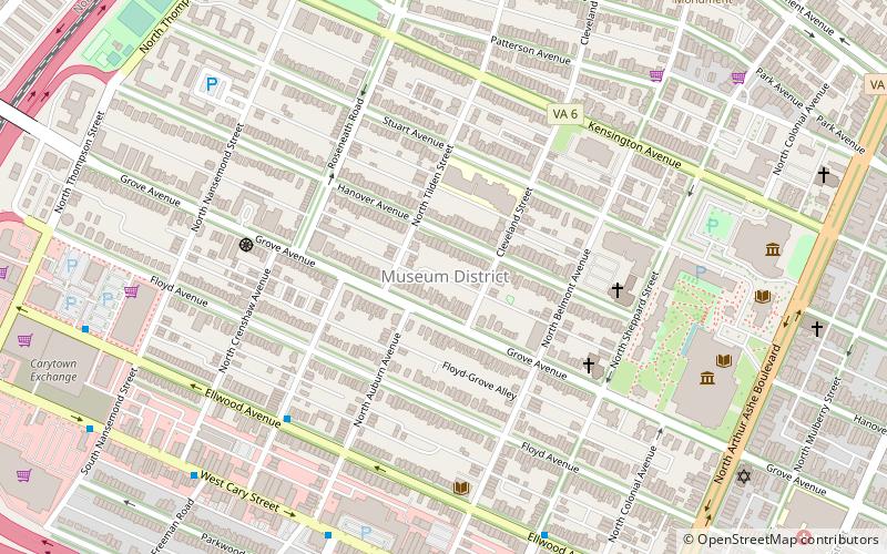
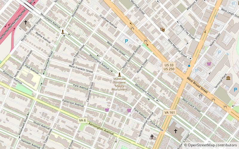
Map

Facts and practical information
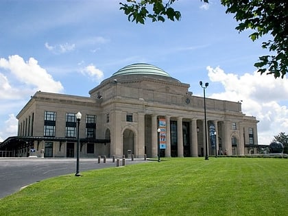
The Museum District, alternately known as West of the Boulevard, is a neighborhood in the city of Richmond, Virginia. It is anchored by the contiguous six-block tract of museums along the west side of Boulevard, including the Virginia Museum of Fine Arts and the Virginia Museum of History & Culture, hence the name. ()
Coordinates: 37°33'27"N, 77°28'48"W
Day trips
Museum District – popular in the area (distance from the attraction)
Nearby attractions include: Virginia Museum of Fine Arts, Cary Street Park and Shop Center, Stonewall Jackson Monument, Matthew Fontaine Maury Monument.
Frequently Asked Questions (FAQ)
Which popular attractions are close to Museum District?
Nearby attractions include Ekoji Richmond Buddhist Sangha, Richmond (5 min walk), Confederate Memorial Chapel, Richmond (7 min walk), Virginia Museum of Fine Arts, Richmond (8 min walk), Arthur Ashe Boulevard, Richmond (8 min walk).
How to get to Museum District by public transport?
The nearest stations to Museum District:
Bus
Bus
- Main & Boulevard • Lines: 20, 78 (11 min walk)
- FlixBus Richmond • Lines: 2601 (18 min walk)


