Cowboy Trail, Norfolk

Gallery (2)
Map

Map
Gallery
Facts and practical information
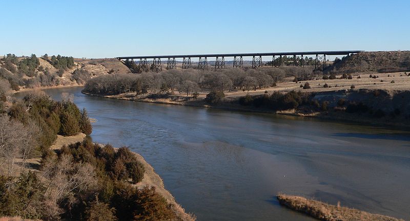
The Cowboy Trail is a rail trail in northern Nebraska. It is a multi-use recreational trail suitable for bicycling, walking and horseback riding. It occupies an abandoned Chicago and North Western Railway corridor. When complete, the trail will run from Chadron to Norfolk, a length of 321 miles, making it the longest rails-to-trails conversion in the United States. It is Nebraska's first state recreational trail. The trail runs across the Outback area of Nebraska. ()
Coordinates: 42°0'14"N, 97°25'31"W
Day trips


