Sierra High Route, Hoover Wilderness
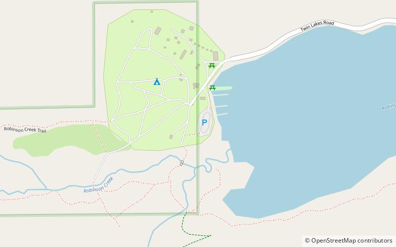
Map

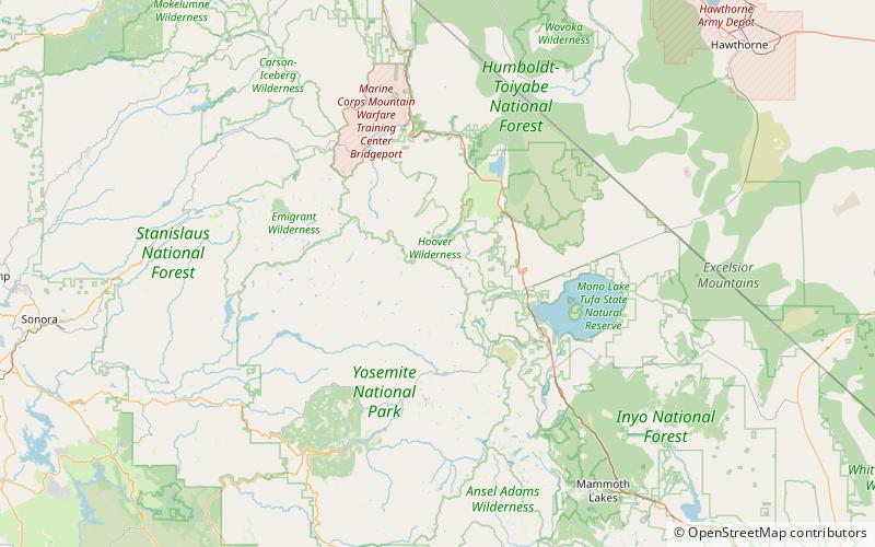
Map

Facts and practical information
The Sierra High Route is a cross-country hiking route, 195 miles long, through the Sierra Nevada. It was scouted by Steve Roper and described by him in his book Sierra High Route: Traversing Timberline Country. ()
Length: 195 miCoordinates: 38°8'49"N, 119°22'41"W
Address
Hoover Wilderness
ContactAdd
Social media
Add
Day trips
Sierra High Route – popular in the area (distance from the attraction)
Nearby attractions include: Matterhorn Peak, Whorl Mountain, Peeler Lake, Burro Pass.


