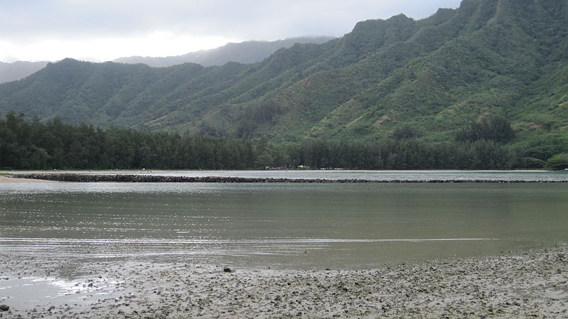
Huilua Fishpond, Oahu

Gallery (4)
Map

Map
Gallery
Facts and practical information
Huilua Fishpond, in Ahupuaʻa O Kahana State Park on windward Oʻahu, is one of the few surviving ancient Hawaiian fishponds that were still operational well into the 20th century. It was declared a U.S. National Historic Landmark in 1962, shortly after it had been severely damaged by the 1960 tsunami. It was added to the National Register of Historic Places on L: December 29, 1962. ()
Coordinates: 21°33'27"N, 157°52'8"W
Day trips


