Inclined Plane Bridge, Johnstown
Map
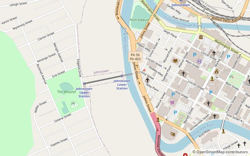
Map

Facts and practical information
The Inclined Plane Bridge is a 237-foot, Pennsylvania through truss bridge that spans Stonycreek River in Johnstown, Cambria County, in the U.S. state of Pennsylvania. It connects the city to the lower station of the Johnstown Inclined Plane. The bridge was listed on the National Register of Historic Places in 1988 and was documented by the Historic American Engineering Record in 1997. ()
Length: 237 ftWidth: 19 ftCoordinates: 40°19'33"N, 78°55'33"W
Address
Johnstown
ContactAdd
Social media
Add
Day trips
Inclined Plane Bridge – popular in the area (distance from the attraction)
Nearby attractions include: Cambria County War Memorial Arena, Point Stadium, Johnstown Flood Museum, Stackhouse Park.
Frequently Asked Questions (FAQ)
Which popular attractions are close to Inclined Plane Bridge?
Nearby attractions include Point Stadium, Johnstown (6 min walk), Peoples Natural Gas Park, Johnstown (7 min walk), Cambria County War Memorial Arena, Johnstown (7 min walk), Johnstown Flood Museum, Johnstown (8 min walk).
How to get to Inclined Plane Bridge by public transport?
The nearest stations to Inclined Plane Bridge:
Train
Train
- Johnstown (9 min walk)


