Port of Brookings Harbor, Harbor
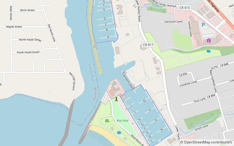
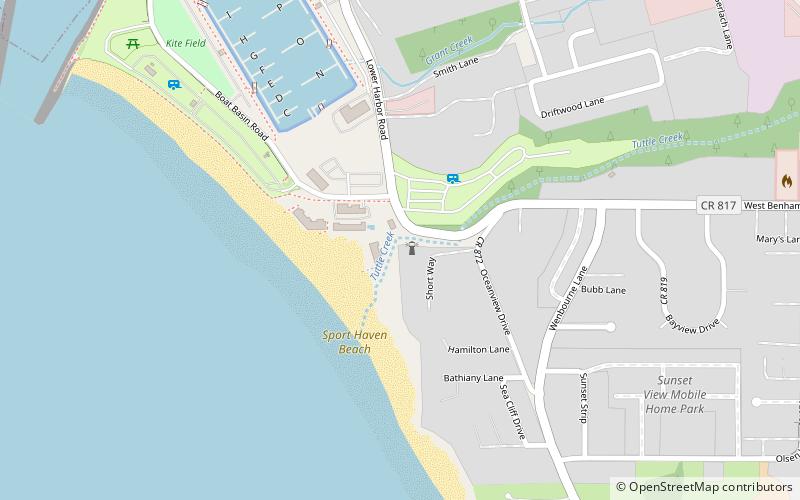
Map

Map

Facts and practical information
The Port of Brookings Harbor is the port authority for the city of Brookings, Oregon, United States, and serving the neighboring community of Harbor. The district covers 400 square miles from the mouth of the Chetco River south to the Oregon-California border, north to the mouth of the Pistol River, and east to the Curry-Josephine county line. The district is governed by a five-member commission elected at-large from the district population of approximately 16,000. ()
Coordinates: 42°2'51"N, 124°16'5"W
Day trips
Port of Brookings Harbor – popular in the area (distance from the attraction)
Nearby attractions include: Alfred A. Loeb State Park, Pelican Bay Light, Harris Beach State Park, Chetco Pelican Players.
Frequently Asked Questions (FAQ)
Which popular attractions are close to Port of Brookings Harbor?
Nearby attractions include Pelican Bay Light, Harbor (13 min walk), Chetco Community Public Library, Brookings-Harbor (18 min walk).


