John B. Busch Brewery Historic District, Washington
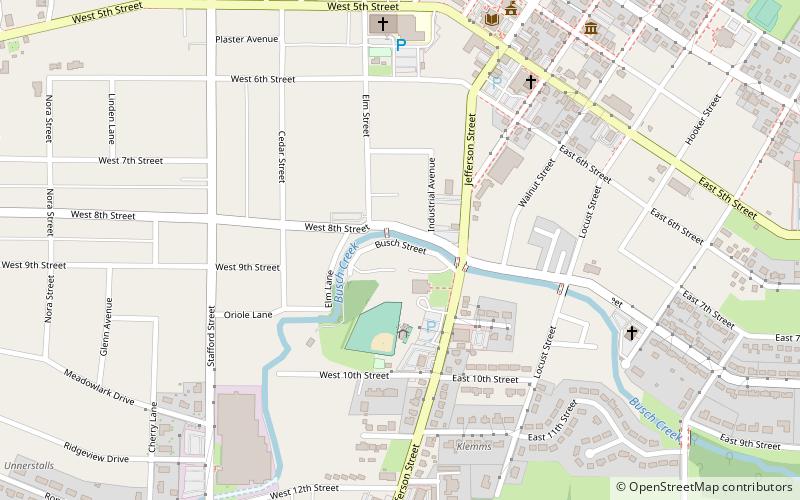
Map

Map

Facts and practical information
John B. Busch Brewery Historic District is a historic brewery complex and national historic district located at Washington, Franklin County, Missouri. The complex developed between about 1855 and 1917. It includes the main brewery complex and two ice houses. The main brewery complex that is a multi-storied complex of buildings with five main sections. Much of the complex dates to 1888, with additions made in 1917. The cellars date to about 1855. The brewery closed in 1954. ()
Built: 1855 (171 years ago)Coordinates: 38°33'11"N, 91°0'55"W
Address
Washington
ContactAdd
Social media
Add
Day trips
John B. Busch Brewery Historic District – popular in the area (distance from the attraction)
Nearby attractions include: Washington Historical Society, Gary R. Lucy Gallery, The Washington Tattoo Collective, Stafford–Olive Historic District.
Frequently Asked Questions (FAQ)
Which popular attractions are close to John B. Busch Brewery Historic District?
Nearby attractions include Washington Historical Society, Washington (9 min walk), Stafford–Olive Historic District, Washington (11 min walk), The Washington Tattoo Collective, Washington (14 min walk), Downtown Washington Historic District, Washington (14 min walk).
How to get to John B. Busch Brewery Historic District by public transport?
The nearest stations to John B. Busch Brewery Historic District:
Train
Train
- Washington (16 min walk)

 Metro
Metro


