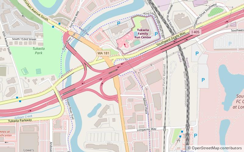
Interurban Trail, Kent
Map

Map

Facts and practical information
The Interurban Trail South is a rail trail in King and Pierce counties, Washington. The interurban trail North is a bicycle route running from Downtown Seattle through Shoreline and to the Snohomish County, Washington line. ()
Elevation: 20 ft a.s.l.Coordinates: 47°27'49"N, 122°14'42"W
Address
Tukwila Urban CenterKent
ContactAdd
Social media
Add
Day trips
Interurban Trail – popular in the area (distance from the attraction)
Nearby attractions include: Westfield Southcenter, Fort Dent, SyKart Indoor Racing Center, Starfire Sports.
Frequently Asked Questions (FAQ)
How to get to Interurban Trail by public transport?
The nearest stations to Interurban Trail:
Bus
Train
Bus
- Interurban Ave S & Fort Dent Way • Lines: 150 (7 min walk)
- Tukwila Station Acs & S Longacres Way • Lines: F (7 min walk)
Train
- Tukwila (9 min walk)


