Irishtown Bend Archeological District, Cleveland
Map
Gallery
Facts and practical information
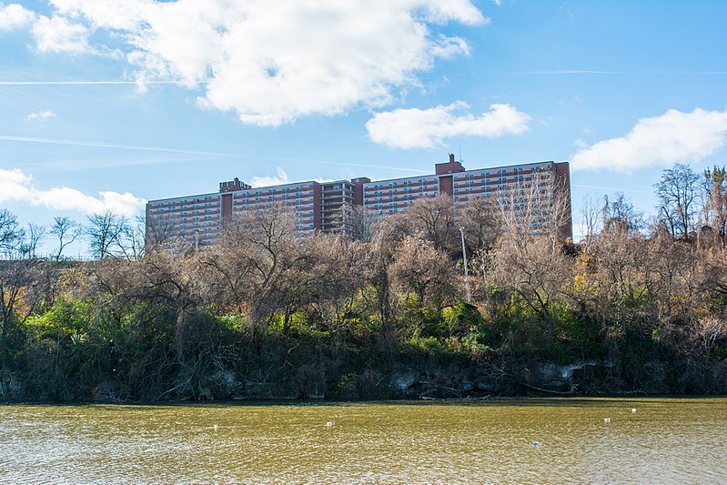
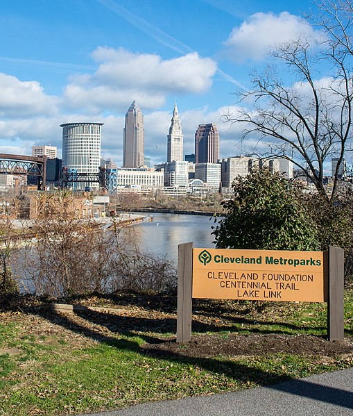
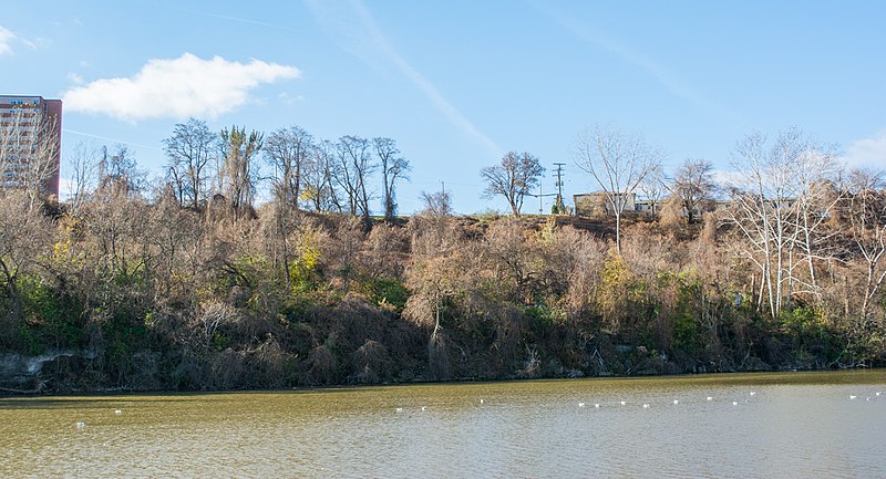
Irishtown Bend is the name given to both a former Irish American neighborhood and a landform located on the Flats of the west bank of the Cuyahoga River in the city of Cleveland in the U.S. state of Ohio in the United States. The landform consists of a tight meander in the Cuyahoga River, and the steep hillside above this meander. ()
Coordinates: 41°29'22"N, 81°42'18"W
Address
Ohio CityCleveland
ContactAdd
Social media
Add
Day trips
Irishtown Bend Archeological District – popular in the area (distance from the attraction)
Nearby attractions include: Cleveland Arcade, Quicken Loans Arena, West Side Market, Public Square.
Frequently Asked Questions (FAQ)
Which popular attractions are close to Irishtown Bend Archeological District?
Nearby attractions include St. John's Episcopal Church, Cleveland (5 min walk), Lakeview Terrace, Cleveland (9 min walk), Ohio and Erie Canal, Cleveland (10 min walk), West Side Market, Cleveland (10 min walk).
How to get to Irishtown Bend Archeological District by public transport?
The nearest stations to Irishtown Bend Archeological District:
Metro
Light rail
Bus
Train
Metro
- West 25th–Ohio City • Lines: Red (10 min walk)
- Tower City • Lines: Red (20 min walk)
Light rail
- Settlers Landing • Lines: 67Ax, 67AX Blue, Blue, Green (14 min walk)
- Flats East Bank • Lines: 67Ax, 67AX Blue, Blue, Green (18 min walk)
Bus
- 79 A/B 51A/B/C 22 26 (19 min walk)
- East 6th Street (28 min walk)
Train
- Cleveland (31 min walk)


