Maine State Pier, Portland
Map
Facts and practical information
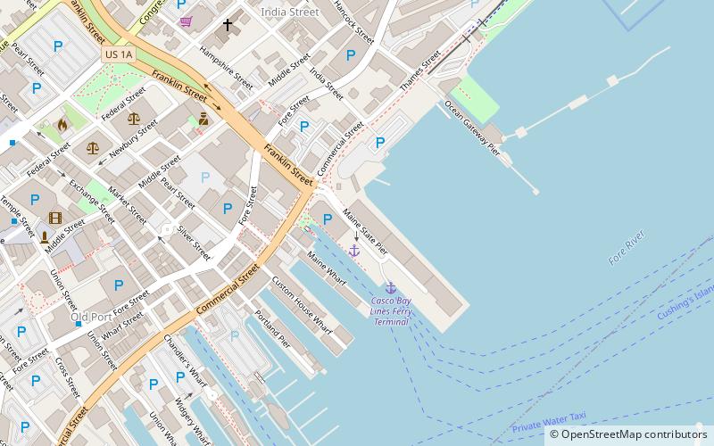
The Maine State Pier is a municipal-owned deepwater marine facility and music venue located at the intersection of Commercial Street and Franklin Street on the eastern waterfront in Portland, Maine. ()
Coordinates: 43°39'27"N, 70°14'55"W
Address
Maine State PierDowntown PortlandPortland 04101
Contact
+1 855-364-6595
Social media
Add
Getting there by public transportation
Public transportation stops near this location
- Bus
- Ferry
 Bus
Bus
- Calculate routeCasco Bay Lines Ferry Terminal 3 min walk
- Calculate routeCongress St + India St 10 min walk
- Calculate routeCity Hall - Congress St. 11 min walk
- Calculate routeCity Hall 12 min walk
- Calculate routeMonument Square, Stop ID: 1131 13 min walk
Day trips


Frequently Asked Questions (FAQ)
Which popular attractions are close to Maine State Pier?
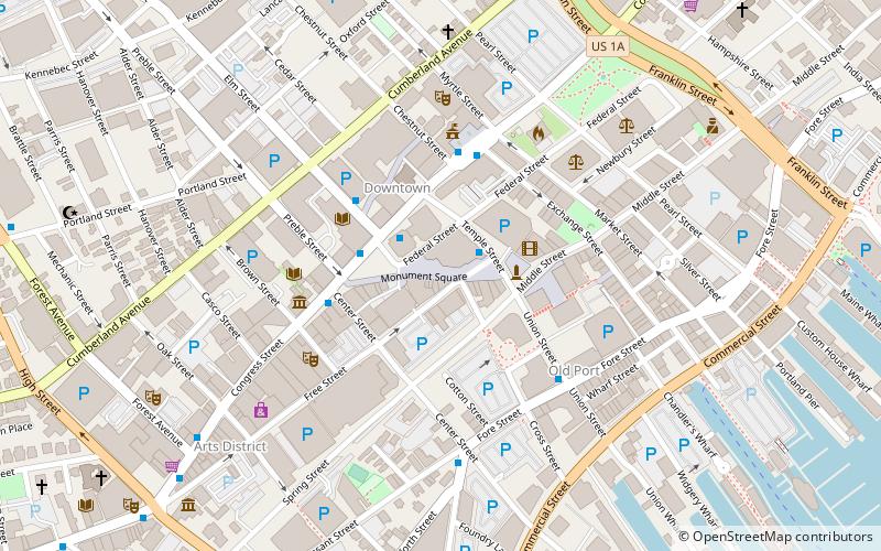
Nearby attractions include Wendameen Yacht, Portland (1 min walk), Bagheera, Portland (4 min walk), United States Custom House, Portland (4 min walk), Mariner's Church, Portland (7 min walk).
How to get to Maine State Pier by public transport?
The nearest stations to Maine State Pier:
Ferry
Bus
Ferry
- Casco Bay Lines Ferry Terminal (3 min walk)
Bus
- Congress St + India St • Lines: 9B, Brz (10 min walk)
- City Hall - Congress St. • Lines: 9B (11 min walk)