Jefferson City Bridge, Jefferson City
Map

Map

Facts and practical information
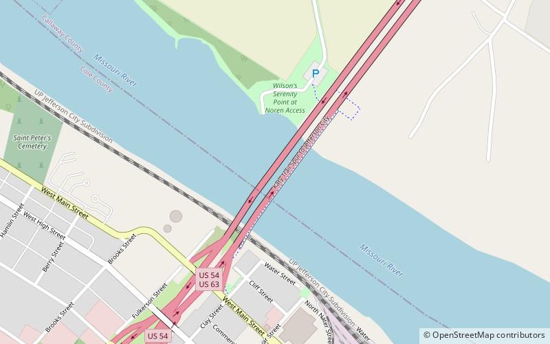
The Jefferson City Bridge is the name for two continuous through arch truss bridges over the Missouri River at Jefferson City, Missouri, over which U.S. Routes 54 and 63 travel between Cole and Callaway Counties. ()
Opened: 1955 (71 years ago)Coordinates: 38°35'15"N, 92°10'44"W
Address
Jefferson City
ContactAdd
Social media
Add
Day trips
Jefferson City Bridge – popular in the area (distance from the attraction)
Nearby attractions include: Missouri State Capitol, Jefferson Landing State Historic Site, Missouri Governor's Mansion, Missouri State Museum.
Frequently Asked Questions (FAQ)
Which popular attractions are close to Jefferson City Bridge?
Nearby attractions include Fountain of the Centaurs, Jefferson City (17 min walk), Missouri State Capitol, Jefferson City (17 min walk), Missouri State Museum, Jefferson City (18 min walk), The Sciences and The Arts Fountains, Jefferson City (19 min walk).
How to get to Jefferson City Bridge by public transport?
The nearest stations to Jefferson City Bridge:
Train
Train
- Jefferson City (24 min walk)


