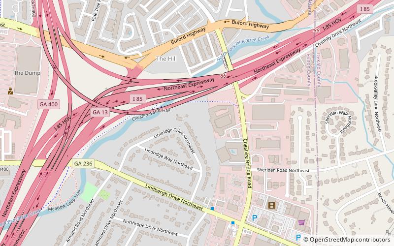
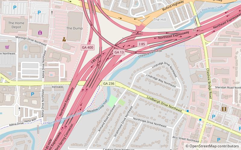
Cheshire Farm Trail, Atlanta

Map
Facts and practical information
The Cheshire Farm Trail is a walking trail along the South Fork of Peachtree Creek in Atlanta. Ribbon cutting occurred in September 2014. ()
Coordinates: 33°49'20"N, 84°21'13"W
Address
Northeast Atlanta (Martin Manor)Atlanta
ContactAdd
Social media
Add
Day trips
Cheshire Farm Trail – popular in the area (distance from the attraction)
Nearby attractions include: Morningside Nature Preserve, Rock Spring Presbyterian Church, Tara Theatre, U-Haul Moving & Storage at Piedmont.
Frequently Asked Questions (FAQ)
Which popular attractions are close to Cheshire Farm Trail?
Nearby attractions include Lindridge/Martin Manor, Atlanta (7 min walk), Tara Theatre, Atlanta (7 min walk), Lindbergh, Atlanta (18 min walk), U-Haul Moving & Storage at Piedmont, Atlanta (22 min walk).
How to get to Cheshire Farm Trail by public transport?
The nearest stations to Cheshire Farm Trail:
Metro
Metro
- Lindbergh Center • Lines: Gold, Red (24 min walk)


