Adobe Creek National Golf Course, Fruita
Map

Map

Facts and practical information
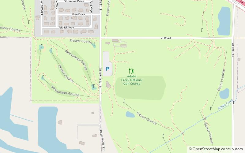
Adobe Creek National Golf Course (address: 876 18 1/2 Rd) is a place located in Fruita (Colorado state) and belongs to the category of outdoor activities, golf.
It is situated at an altitude of 4505 feet, and its geographical coordinates are 39°7'60"N latitude and 108°42'32"W longitude.
Among other places and attractions worth visiting in the area are: Fruita Museum (library, 41 min walk), Dinosaur Journey Museum (specialty museum, 53 min walk), Western Slope Vietnam War Memorial Park - Field of Dreams (historical place, 53 min walk).
Coordinates: 39°7'60"N, 108°42'32"W
Day trips
Adobe Creek National Golf Course – popular in the area (distance from the attraction)
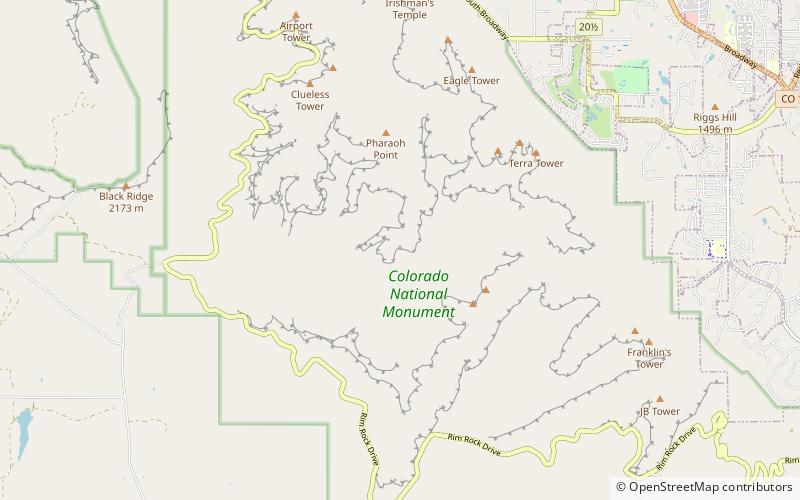
Nearby attractions include: Grand View Spire, Coke Ovens, Pipe Organ, Terra Tower.


