Jupiter, Philadelphia
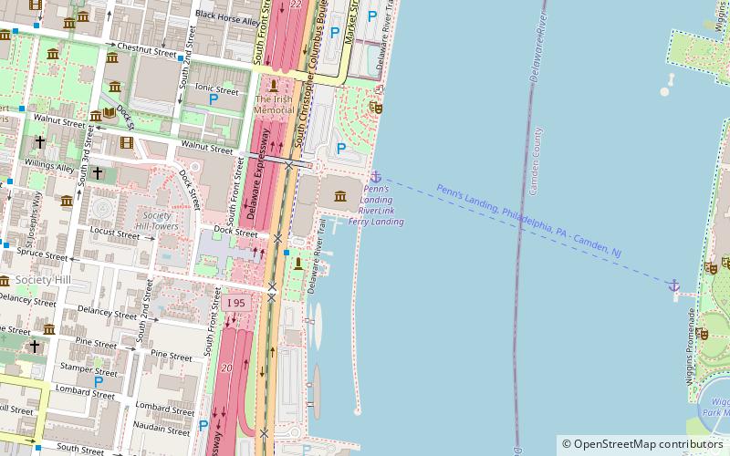
Map

Map

Facts and practical information
Jupiter is an American tugboat. It was built in Philadelphia in 1902 by Neafie & Levy for the Standard Oil Company of New York, and was named Socony No. 14. In 1939 it was sold to the Independent Pier Company in Philadelphia, and was renamed Jupiter. ()
Coordinates: 39°56'43"N, 75°8'24"W
Address
Philadelphia
ContactAdd
Social media
Add
Day trips
Jupiter – popular in the area (distance from the attraction)
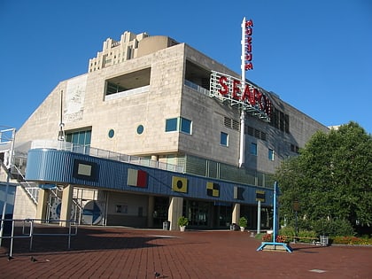
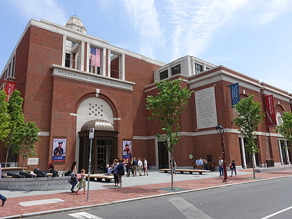
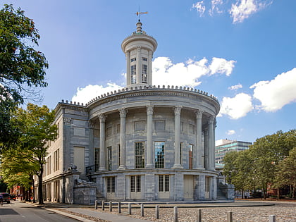
Nearby attractions include: Independence Seaport Museum, Museum of the American Revolution, Carpenters' Hall, Merchants' Exchange Building.
Frequently Asked Questions (FAQ)
Which popular attractions are close to Jupiter?
Nearby attractions include Penn's Landing, Philadelphia (2 min walk), Independence Seaport Museum, Philadelphia (2 min walk), Spruce Street Harbor Park, Philadelphia (3 min walk), Gazela, Philadelphia (3 min walk).
How to get to Jupiter by public transport?
The nearest stations to Jupiter:
Metro
Light rail
Bus
Train
Tram
Metro
- 2nd Street • Lines: Mfl (11 min walk)
- 5th Street • Lines: Mfl (16 min walk)
Light rail
- Adventure Aquarium • Lines: River Line (16 min walk)
- Entertainment Center • Lines: River Line (18 min walk)
Bus
- Spruce St & 6th St • Lines: 12 (16 min walk)
- FlixBus Philadelphia Market Street • Lines: 2602, 2680, N2610 (18 min walk)
Train
- Jefferson Station (28 min walk)
Tram
- 13th Street • Lines: 10, 11, 13, 34, 36 (33 min walk)

 SEPTA Regional Rail


