Pocomoke State Forest, Pocomoke River State Park

Map
Facts and practical information
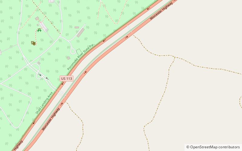
Pocomoke State Forest is a state forest of Maryland that lies on both banks of the Pocomoke River in Worcester County. The portion north of the Pocomoke lies between Dividing and Nassawango Creeks. The Pocomoke River Wildlife Management Area borders the southern portion of the forest. ()
Coordinates: 38°7'58"N, 75°25'58"W
Address
Pocomoke River State Park
ContactAdd
Social media
Add
Day trips
Pocomoke State Forest – popular in the area (distance from the attraction)
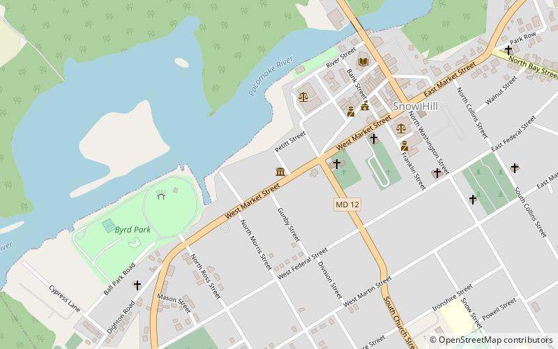
Nearby attractions include: Furnace Town Living Heritage Museum, Julia A. Purnell Museum, Makemie Memorial Presbyterian Church, All Hallows Episcopal Church.


