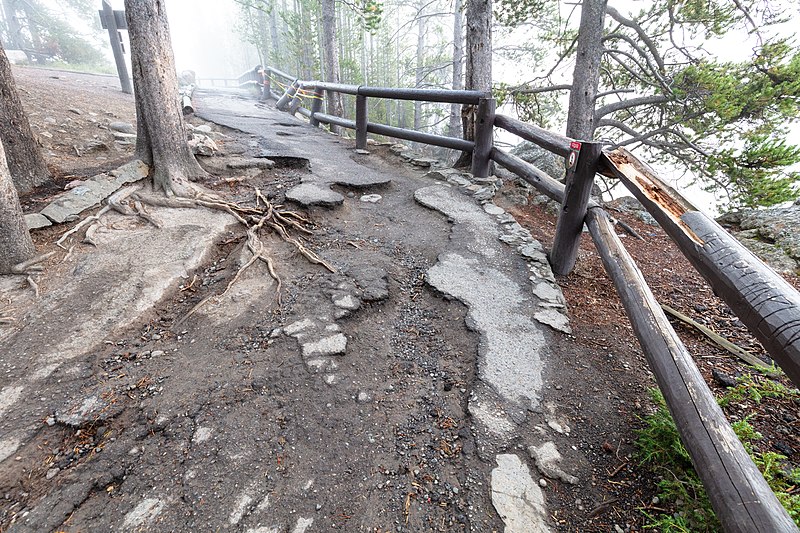
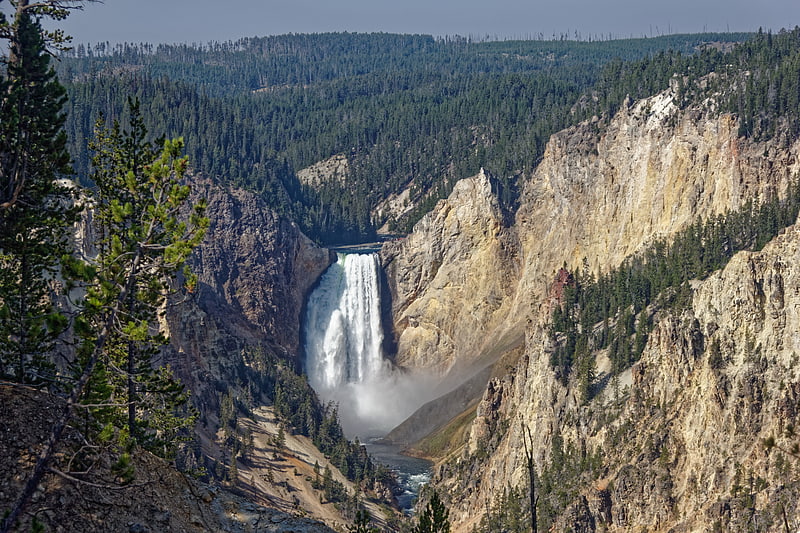
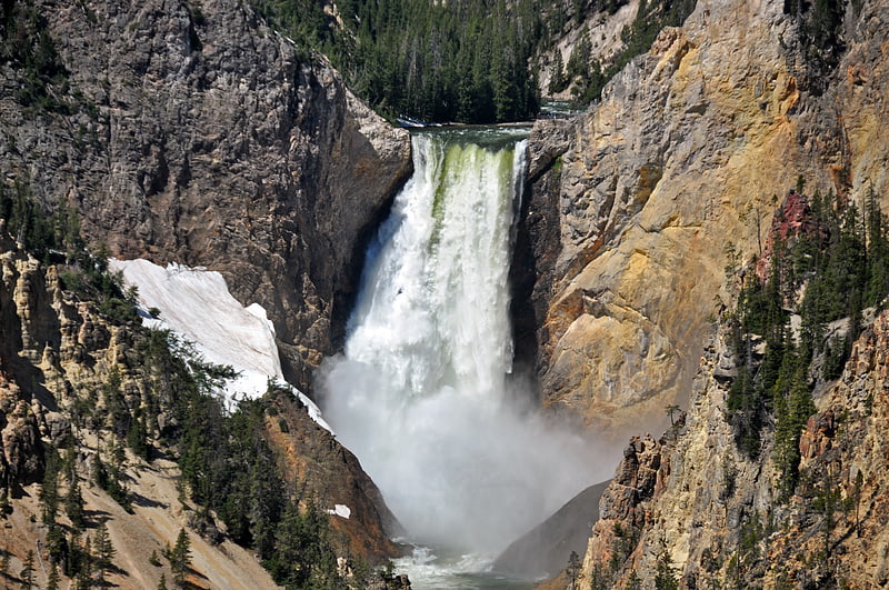
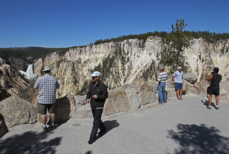
Brink of Lower Falls Trail, Yellowstone National Park

Gallery (3)
Map
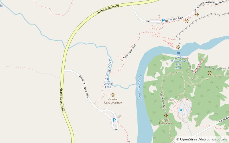
Map
Gallery
Facts and practical information
Brink of Lower Falls Trail is a place located in Yellowstone National Park (Wyoming state) and belongs to the category of bridge.
It is situated at an altitude of 7608 feet, and its geographical coordinates are 44°43'1"N latitude and 110°30'4"W longitude.
Among other places and attractions worth visiting in the area are: Grand Canyon of the Yellowstone (nature, 6 min walk), The Upper and Lower Falls of the Yellowstone (natural attraction, 7 min walk), Upper Yellowstone Falls (natural attraction, 8 min walk).
Coordinates: 44°43'1"N, 110°30'4"W
Day trips


Frequently Asked Questions (FAQ)
Which popular attractions are close to Brink of Lower Falls Trail?
Nearby attractions include Grand Canyon of the Yellowstone, Yellowstone National Park (6 min walk), The Upper and Lower Falls of the Yellowstone, Yellowstone National Park (7 min walk), Upper Yellowstone Falls, Yellowstone National Park (8 min walk), Yellowstone Falls, Yellowstone National Park (8 min walk).