Kenmore Square, Boston
Map
Gallery
Facts and practical information
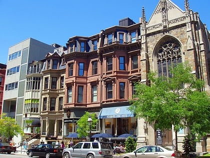
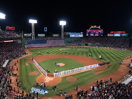
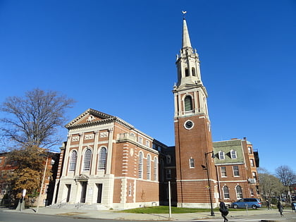
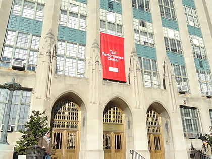
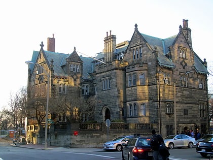
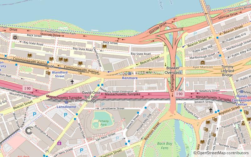
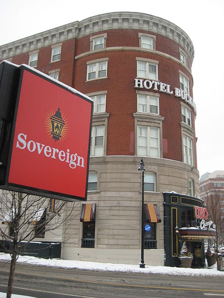
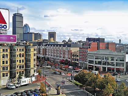
Kenmore Square is a square in Boston, Massachusetts, United States, consisting of the intersection of several main avenues as well as several other cross streets, and Kenmore station, an MBTA subway stop. Kenmore Square is close to or abuts Boston University and Fenway Park, and it features Lansdowne Street, a center of Boston nightlife, and the Citgo sign. It is also the eastern terminus of U.S. Route 20, the longest U.S. Highway. ()
Address
541 Commonwealth AveFenway - Kenmore - Audubon Circle - LongwoodBoston
Contact
Social media
Add
Day trips
Kenmore Square – popular in the area (distance from the attraction)
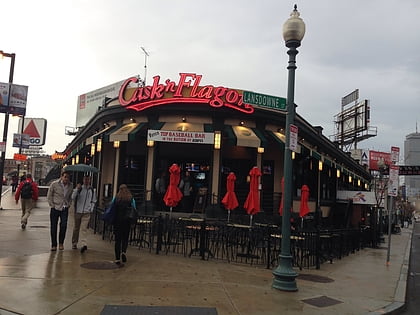
Nearby attractions include: Newbury Street, Fenway Park, Cask 'n Flagon, Newbury Comics.
Frequently Asked Questions (FAQ)
Which popular attractions are close to Kenmore Square?
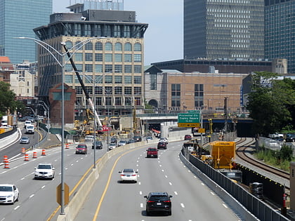
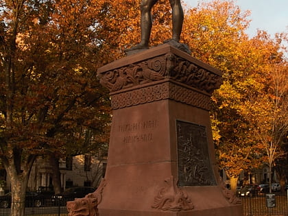
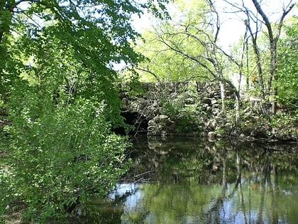
Nearby attractions include Fenway Studios, Boston (5 min walk), Bowker Overpass, Boston (5 min walk), Storrow Drive, Boston (6 min walk), Statue of Leif Erikson, Boston (6 min walk).
How to get to Kenmore Square by public transport?
The nearest stations to Kenmore Square:
Bus
Light rail
Train
Metro
Bus
- Kenmore Station Busway • Lines: 57 (1 min walk)
- Brookline Ave opp Newbury St • Lines: 8 (3 min walk)
Light rail
- Kenmore • Lines: B, C, D (1 min walk)
- Blandford Street • Lines: B (6 min walk)
Train
- Lansdowne (6 min walk)
- Ruggles (23 min walk)
Metro
- Massachusetts Avenue • Lines: Orange (21 min walk)
- Ruggles • Lines: Orange (23 min walk)
 MBTA Subway