Ferguson landslide, Sierra National Forest
Map

Gallery

Facts and practical information
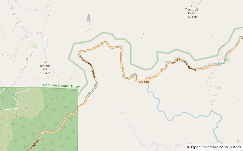
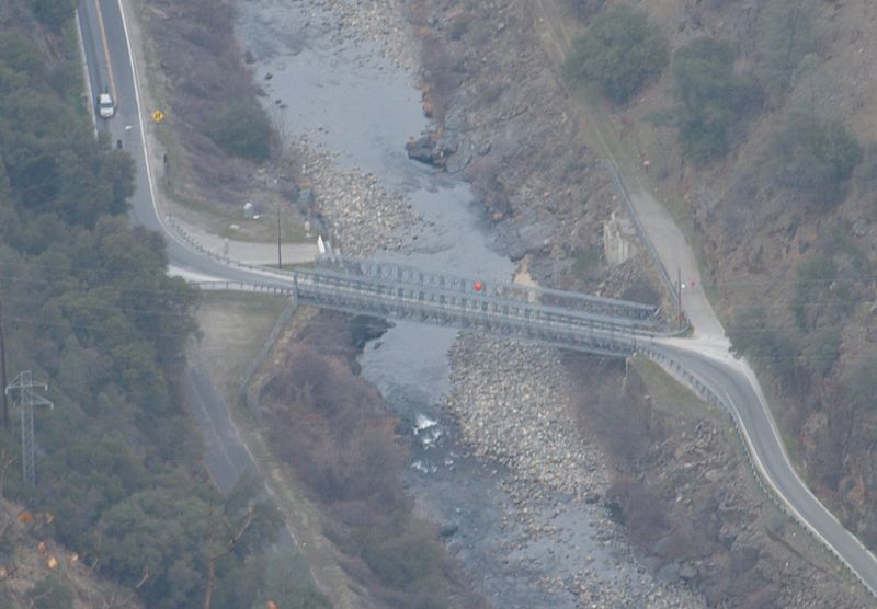
The Ferguson landslide, also commonly called the Ferguson Slide, is an active landslide in the Merced River canyon in Mariposa County, California, United States. In 2006, rocks and debris slid off Ferguson Ridge, blocking California State Route 140, a primary access road to Yosemite National Park. The slide still blocked the original road as of late 2021, although temporary bridges allow one-way traffic around the slide and into the park. The slide is a natural phenomenon, and resulted from the erosion dynamics of the river valley. ()
Coordinates: 37°39'24"N, 119°54'4"W
Address
Sierra National Forest
ContactAdd
Social media
Add
