Steele Dunning Historic District, Bloomington
Map
Gallery
Facts and practical information
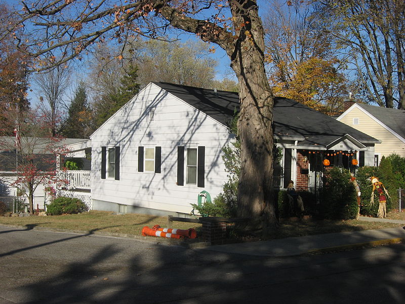
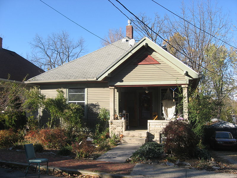
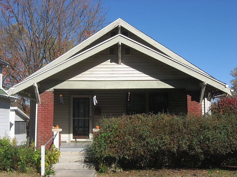
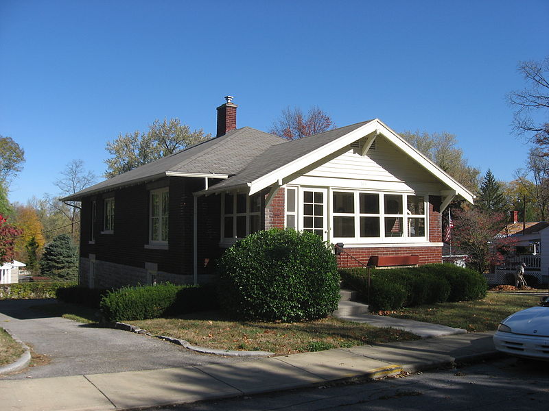
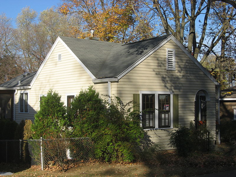
The Steele Dunning Historic District is a neighborhood and historic district in Bloomington, Indiana, United States. Composed of small, single- or double-family houses, the district includes houses built from the late nineteenth century through the middle of the twentieth century. ()
Coordinates: 39°9'54"N, 86°32'24"W
Address
Prospect HillBloomington
ContactAdd
Social media
Add
Day trips
Steele Dunning Historic District – popular in the area (distance from the attraction)
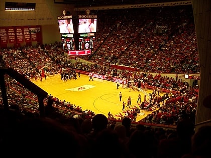
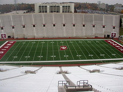
Nearby attractions include: WonderLab, Assembly Hall, Memorial Stadium, Fountain Square Mall.
Frequently Asked Questions (FAQ)
Which popular attractions are close to Steele Dunning Historic District?
Nearby attractions include Blair–Dunning House, Bloomington (2 min walk), Prospect Hill Historic District, Bloomington (3 min walk), WonderLab, Bloomington (5 min walk), Bloomington West Side Historic District, Bloomington (7 min walk).
How to get to Steele Dunning Historic District by public transport?
The nearest stations to Steele Dunning Historic District:
Bus
Bus
- Bloomington Transit Center (10 min walk)
- 4th and Washington bus terminal (11 min walk)


