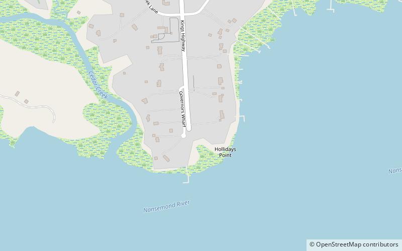
Kings Highway Bridge, Suffolk
Map

Map

Facts and practical information
Kings Highway Bridge was located on the Nansemond River in the independent city of Suffolk, Virginia, United States. Built in 1928, it carried traffic on the Kings Highway, also known as State Route 125, for over 75 years. ()
Opened: 1928 (98 years ago)Coordinates: 36°50'24"N, 76°33'0"W
Address
ChuckatuckSuffolk
ContactAdd
Social media
Add
Day trips
Kings Highway Bridge – popular in the area (distance from the attraction)
Nearby attractions include: Glebe Church, Nansemond National Wildlife Refuge, St. John's Church, Chuckatuck Historic District.


