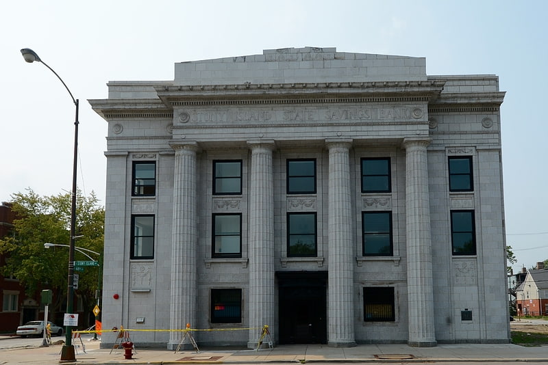
Barack Obama Presidential Center, Chicago
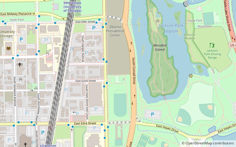
Map
Facts and practical information
The Barack Obama Presidential Center is a planned architectural project overseen by the nonprofit Obama Foundation to commemorate the presidency of Barack Obama, the 44th president of the United States. The Center's work includes digitizing the Barack Obama Presidential Library with the National Archives and Records Administration, to create the first fully digitized presidential library. The Library is administered by NARA, which will preserve hardcopies of documents at a separate NARA facility; however, many will be loaned to the Presidential Center for display. ()
Getting there by public transportation
Public transportation stops near this location
- Metro
- Bus
- Train
 Metro
Metro
- Calculate routeStony Island & 62nd Street 2 min walk
- Calculate route63rd Street & Stony Island 6 min walk
- Calculate route59th Street 9 min walk
- Calculate route63rd Street 10 min walk
- Calculate route55th-56th-57th Street 17 min walk
- Calculate routeCottage Grove 28 min walk
Maps Rail "L"
Rail "L"Day trips


Frequently Asked Questions (FAQ)
Which popular attractions are close to Barack Obama Presidential Center?
Nearby attractions include Jackson Park, Chicago (9 min walk), Statue of The Republic, Chicago (10 min walk), Fab Lab MSI, Chicago (13 min walk), Henry Crown Space Center, Chicago (14 min walk).
How to get to Barack Obama Presidential Center by public transport?
The nearest stations to Barack Obama Presidential Center:
Bus
Train
Metro
Bus
- Stony Island & 62nd Street • Lines: 15, 28, 6 (2 min walk)
- 63rd Street & Stony Island • Lines: 63, (N) N63 (6 min walk)
Train
- 59th Street (9 min walk)
- 63rd Street (10 min walk)
Metro
- Cottage Grove • Lines: Green (28 min walk)