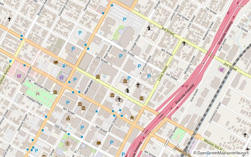
Main Street Pedestrian Mall, Riverside
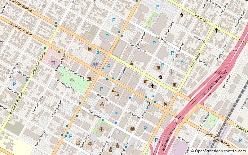
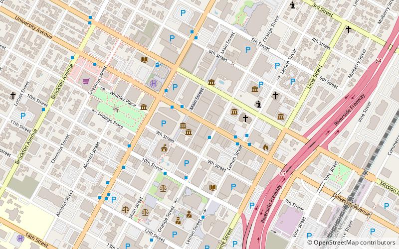
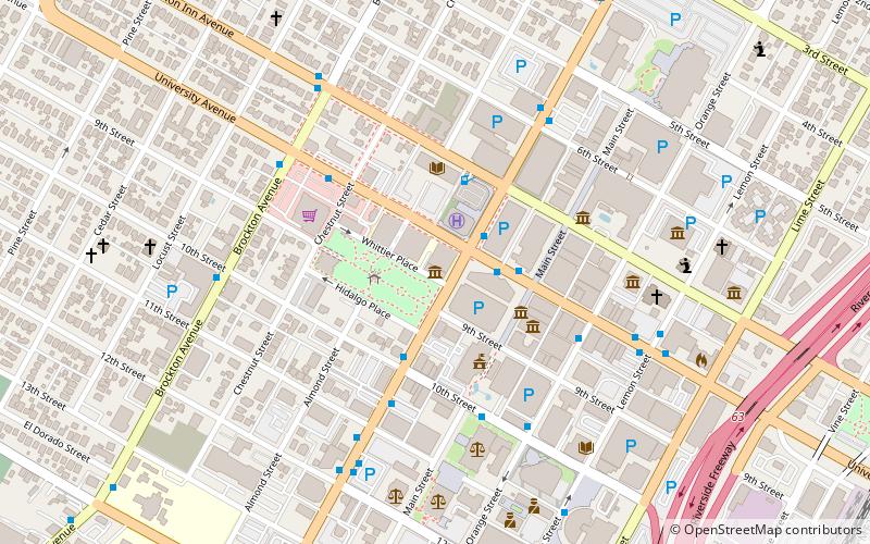
Map
Facts and practical information
The Main Street Pedestrian Mall in Riverside, California, stretching along Main Street from 5th to 10th street, was opened in 1966. The mall is flanked by the City Hall and convention center at either end. In 2008, the city carried out a $10 million renovation to the mall as part of the larger "Riverside Renaissance" project. ()
Coordinates: 33°58'56"N, 117°22'26"W
Address
North Riverside (Downtown Riverside)Riverside
ContactAdd
Social media
Add
Getting there by public transportation
Public transportation stops near this location
- Bus
- Train
 Bus
Bus
- Calculate routeUniversity Ave and Lemon St 4 min walk
- Calculate routeMarket St and Eleventh St 8 min walk
- Calculate routeA 11 min walk
- Calculate routeRiverside–Downtown 13 min walk
Day trips


Frequently Asked Questions (FAQ)
Which popular attractions are close to Main Street Pedestrian Mall?
Nearby attractions include UCR ARTSblock, Riverside (2 min walk), Museum of Riverside, Riverside (3 min walk), Riverside County Library System, Riverside (3 min walk), First Congregational Church of Riverside, Riverside (4 min walk).
How to get to Main Street Pedestrian Mall by public transport?
The nearest stations to Main Street Pedestrian Mall:
Bus
Train
Bus
- University Ave and Lemon St • Lines: 1, 14, 15, 204, 215, 22, 29, 49, 54, Gold (4 min walk)
- Market St and Eleventh St • Lines: Gold (8 min walk)
Train
- Riverside–Downtown (13 min walk)