Stevens Street Historic District, Thomasville
Map

Map

Facts and practical information
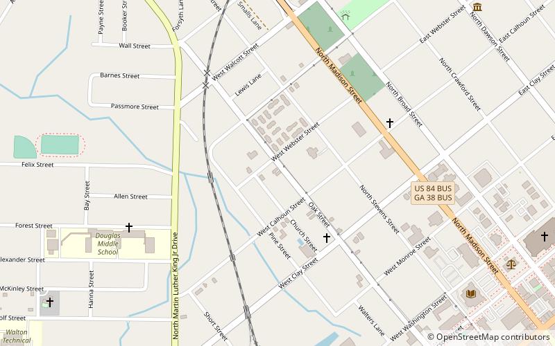
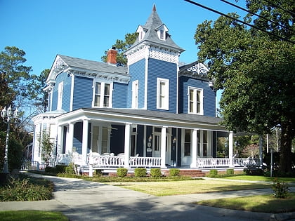
The Stevens Street Historic District is a 175 acres historic district in Thomasville, Georgia. It is located one block northwest of Thomas County Courthouse. ()
Built: 1850 (176 years ago)Coordinates: 30°50'28"N, 83°59'21"W
Address
Thomasville
ContactAdd
Social media
Add
Day trips
Stevens Street Historic District – popular in the area (distance from the attraction)
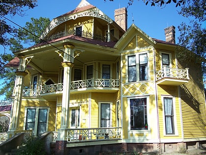
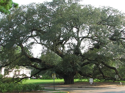
Nearby attractions include: Lapham–Patterson House, Dawson Street Residential Historic District, The Big Oak, Thomas County Courthouse.
Frequently Asked Questions (FAQ)
Which popular attractions are close to Stevens Street Historic District?
Nearby attractions include Church of the Good Shepherd, Thomasville (4 min walk), Thomasville Commercial Historic District, Thomasville (12 min walk), The Big Oak, Thomasville (12 min walk), Thomas County Courthouse, Thomasville (12 min walk).


