International Control Dam, Niagara Falls
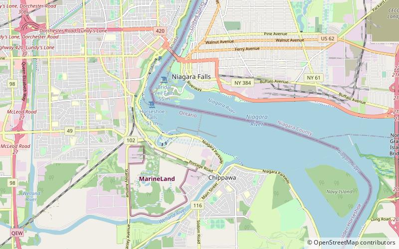
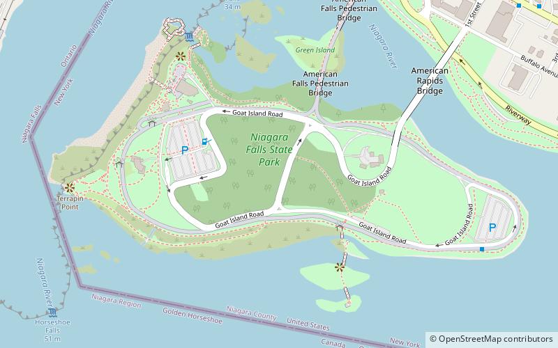
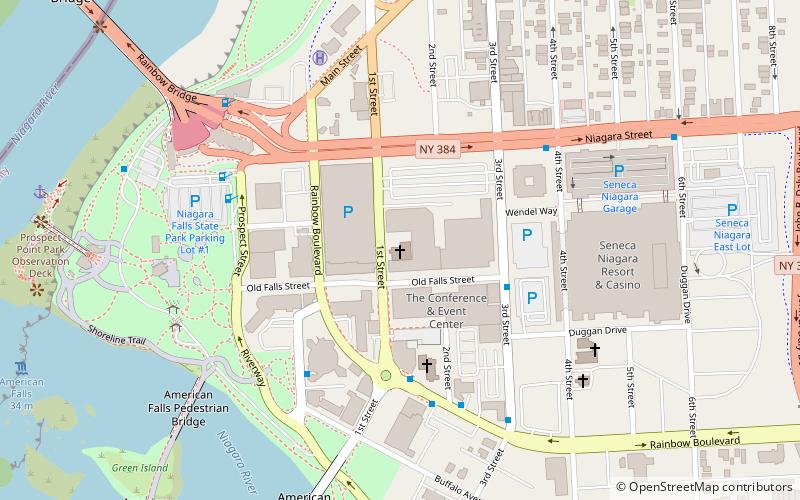
Map

Map

Facts and practical information
The International Control Dam, also known as the International Control Structure, operated by Ontario Power Generation, is a weir that controls the water diversions from the Niagara River and dispatches the water between the New York Power Authority and Ontario Power Generation in accordance with the terms of the 1950 Niagara Treaty. It was completed in 1954. ()
Opened: 1954 (72 years ago)Coordinates: 43°4'20"N, 79°3'31"W
Day trips
International Control Dam – popular in the area (distance from the attraction)
Nearby attractions include: Niagara Falls, Horseshoe Falls, American Falls, Cave of the Winds.
Frequently Asked Questions (FAQ)
Which popular attractions are close to International Control Dam?
Nearby attractions include Three Sisters Islands, Niagara Falls (15 min walk), Whitney Mansion, Niagara Falls (17 min walk), Goat Island, Niagara Falls (19 min walk), First Presbyterian Manse, Niagara Falls (20 min walk).
How to get to International Control Dam by public transport?
The nearest stations to International Control Dam:
Bus
Bus
- FlixBus Niagara Falls • Lines: 2686 (23 min walk)


