Landing Lane Bridge, New Brunswick
Map
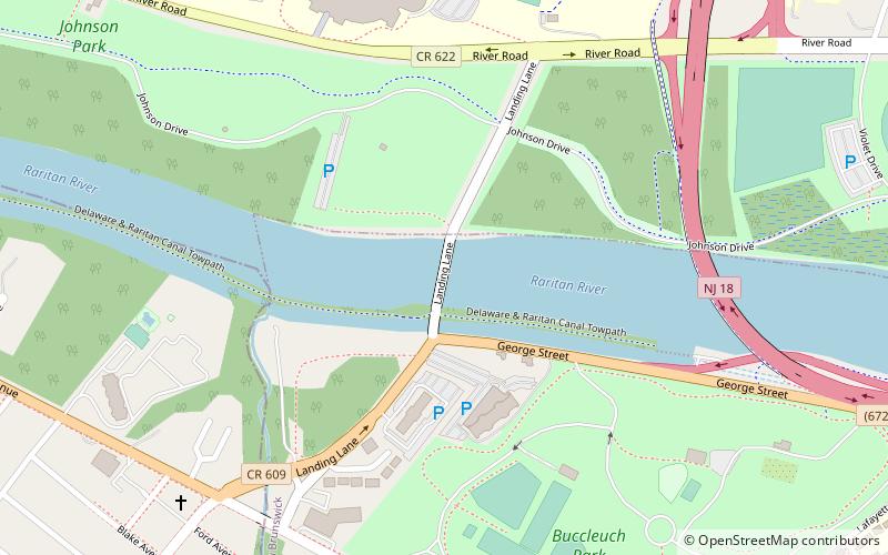
Map

Facts and practical information
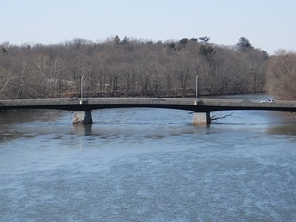
Landing Lane Bridge is part of County Route 609 and spans the Raritan River and the Delaware and Raritan Canal in New Jersey. The two lane bridge connects Piscataway to the north with New Brunswick to the south. The approaching roadways on both sides are known as "Landing Lane." The Delaware and Raritan Canal State Park and towpath is accessible from the bridge. ()
Opened: 1895 (131 years ago)Coordinates: 40°30'31"N, 74°27'50"W
Address
Landing LnNew Brunswick
ContactAdd
Social media
Add
Day trips
Landing Lane Bridge – popular in the area (distance from the attraction)
Nearby attractions include: Geology Hall, Stress Factory Comedy Club, State Theatre, Metlar–Bodine House.
Frequently Asked Questions (FAQ)
Which popular attractions are close to Landing Lane Bridge?
Nearby attractions include John A. Lynch Sr. Memorial Bridge, New Brunswick (7 min walk), Cornelius Low House, New Brunswick (8 min walk), Buccleuch Park, New Brunswick (9 min walk), Raritan Landing, New Brunswick (11 min walk).
How to get to Landing Lane Bridge by public transport?
The nearest stations to Landing Lane Bridge:
Bus
Train
Bus
- Saint Peter's Hospital • Lines: 811 (14 min walk)
- Rutgers Student Center • Lines: A (19 min walk)
Train
- New Brunswick (32 min walk)
