Trek Zone

Roddy Road Covered Bridge, Thurmont

#3 among attractions in Thurmont

Bridge
Roddy Road Covered Bridge

Facts and practical information
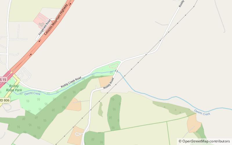
Built: 1860 (164 years ago)Coordinates: 39°38'27"N, 77°23'38"W
Address

Roddy RoadThurmont United States

ContactAdd
Social media

Thurmont plan & book

Unleash the traveler in you — discover the cheapest flight deals, find the perfect hotel or hostel nearby, and search for the best car rental prices. Travel at your own pace to discover new places and enjoy your journey.

Day trips

Roddy Road Covered Bridge – popular in the area (distance from the attraction)

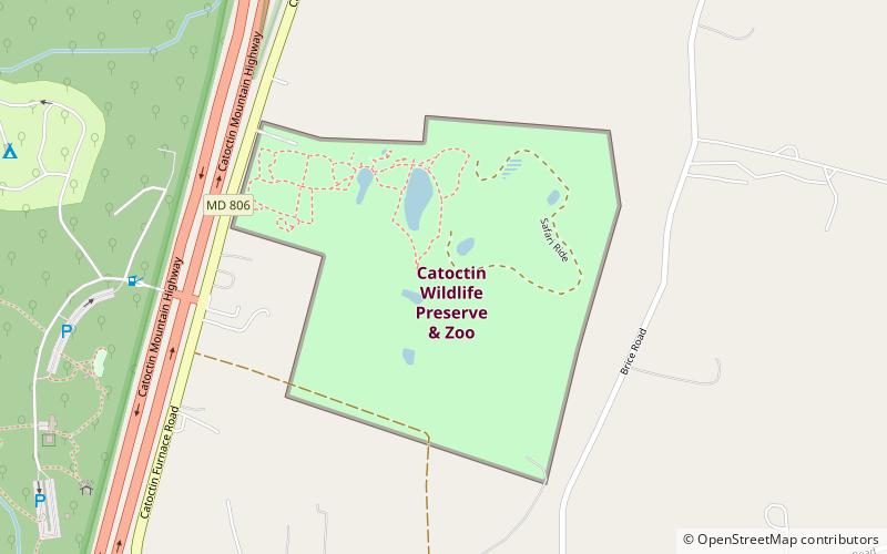
Nearby attractions include: Catoctin Wildlife Preserve & Zoo, National Shrine of St. Elizabeth Ann Seton, Loys Station Covered Bridge, National Fallen Firefighters Memorial.

  • catoctin wildlife preserve zoo thurmont location map
    4 miSW
  • national shrine of st elizabeth ann seton emmitsburg5.2 miNE
  • loys station covered bridge thurmont3.2 miSE
  • national fallen firefighters memorial emmitsburg5.2 miNE
  • mount st marys university emmitsburg3.5 miNE
  • catoctin mountain catoctin mountain park3.9 miW
  • frederick county emmitsburg5.4 miNE
  • catoctin ava catoctin mountain park3.9 miW
  • cunningham falls state park5 miSW
  • american legion thurmont1.6 miSW
  • st euphemias school and sisters house emmitsburg5.8 miNE

Where to next? Visit maryland Maryland region page or discover the top tourist attractions in United States.