Downtown Salem District, Salem
Map
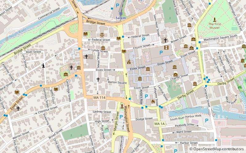
Map

Facts and practical information
Downtown Salem District is a historic district roughly bounded by Church, Central, New Derby, and Washington Streets in Salem, Massachusetts. It was added to the National Register of Historic Places in 1983, and represents a major expansion of the Old Town Hall Historic District, which was listed in 1972. ()
Coordinates: 42°31'16"N, 70°53'45"W
Day trips
Downtown Salem District – popular in the area (distance from the attraction)
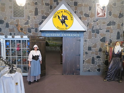
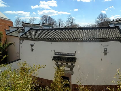
Nearby attractions include: Peabody Essex Museum, Witch History Museum, The Witch House, Gedney and Cox Houses.
Frequently Asked Questions (FAQ)
Which popular attractions are close to Downtown Salem District?
Nearby attractions include City Hall, Salem (2 min walk), Federal Street District, Salem (2 min walk), Joshua Ward House, Salem (2 min walk), Witch History Museum, Salem (3 min walk).
How to get to Downtown Salem District by public transport?
The nearest stations to Downtown Salem District:
Train
Train
- Salem (6 min walk)


