Lawndale, Los Angeles
Map

Map

Facts and practical information
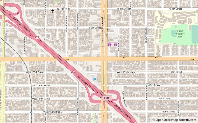
Lawndale is a city in Los Angeles County, California, United States. The population was 32,769 at the 2010 census, up from 31,712 according to the 2000 census. The city is in the South Bay region of the Greater Los Angeles Area. ()
Day trips
Lawndale – popular in the area (distance from the attraction)
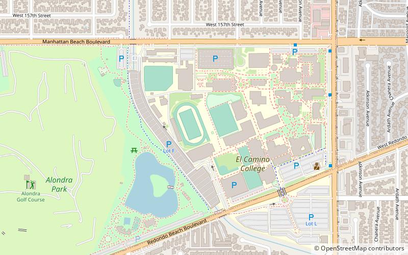
Nearby attractions include: South Bay Galleria, Alondra Golf Course, Hangar 18 South Bay, Featherstone Field.
Frequently Asked Questions (FAQ)
How to get to Lawndale by public transport?
The nearest stations to Lawndale:
Light rail
Light rail
- Redondo Beach • Lines: C (27 min walk)

 Metro & Regional Rail


