Kewaunee Marshland Walk, Kewaunee
Map

Map

Facts and practical information
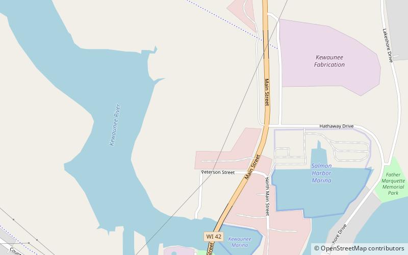
The Kewaunee Marshland Walk is a wooden boardwalk through the Kewaunee River marsh. The boardwalk is 980 feet long. It was built in 1993 as a cooperative effort between the City of Kewaunee and the Wisconsin Coastal Management Program. ()
Coordinates: 44°27'59"N, 87°30'15"W
Address
Kewaunee
ContactAdd
Social media
Add
Day trips
Kewaunee Marshland Walk – popular in the area (distance from the attraction)
Nearby attractions include: Kewaunee Pierhead Light, Kewaunee County Sheriff's Residence and Jail, Tug Ludington, Tallest Grandfather Clock.
Frequently Asked Questions (FAQ)
Which popular attractions are close to Kewaunee Marshland Walk?
Nearby attractions include Tallest Grandfather Clock, Kewaunee (12 min walk), Tug Ludington, Kewaunee (13 min walk), Kewaunee County Sheriff's Residence and Jail, Kewaunee (18 min walk), Kewaunee Pierhead Light, Kewaunee (22 min walk).


