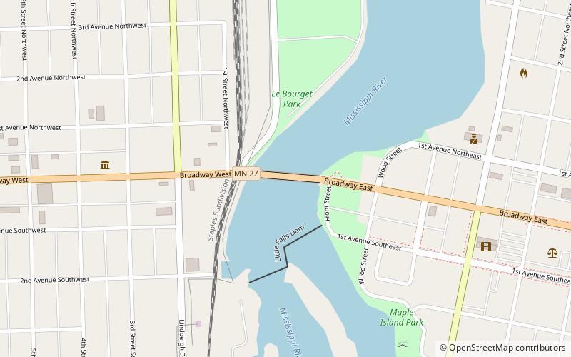
Little Falls Dam, Little Falls
Map

Map

Facts and practical information
Little Falls Dam is a hydroelectric dam across the Mississippi River in the city of Little Falls, Minnesota, United States. ()
Opened: 1888 (138 years ago)Height: 24 ftCoordinates: 45°58'32"N, 94°22'6"W
Address
P.O. Box 735Little Falls
ContactAdd
Social media
Add
Day trips
Little Falls Dam – popular in the area (distance from the attraction)
Nearby attractions include: The Minnesota Fishing Museum, Charles A. Lindbergh Historic Site, Linden Hill, Broadway Bridge.
Frequently Asked Questions (FAQ)
Which popular attractions are close to Little Falls Dam?
Nearby attractions include Broadway Bridge, Little Falls (3 min walk), The Minnesota Fishing Museum, Little Falls (8 min walk), Linden Hill, Little Falls (10 min walk), Church of Our Savior, Little Falls (14 min walk).


