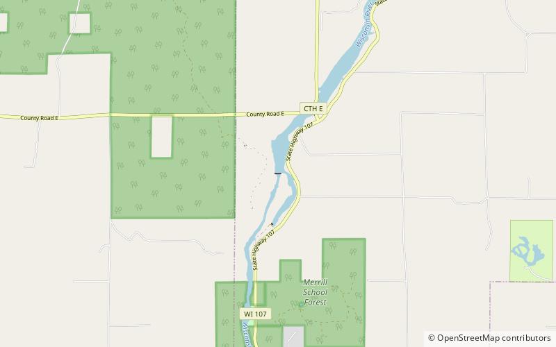
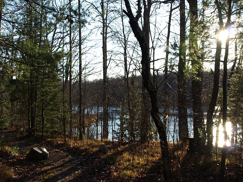
Grandfather Falls, Merrill

Gallery (2)
Map
Map
Gallery
Facts and practical information
Grandfather Falls is the highest waterfall on the Wisconsin River. The total drop is 89 feet, spread out in a series of cascades over about one mile. The upper third of the falls and most of the flow, except in the spring, is diverted through a canal and a series of penstocks to feed hydroelectric generators. Grandfather Falls dam and power generating facility is owned and operated by Wisconsin Public Service Corporation. ()
Coordinates: 45°18'47"N, 89°47'9"W
Address
Merrill
ContactAdd
Social media
Add