Sturgeon Point Light, Harrisville

Gallery (1)
Map
Map
Facts and practical information
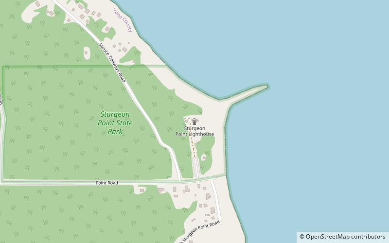
Sturgeon Point Light (address: Lakeshore drive & US 23) is a place located in Harrisville (Michigan state) and belongs to the category of top attraction, lighthouse.
It is situated at an altitude of 591 feet, and its geographical coordinates are 44°42'46"N latitude and 83°16'22"W longitude.
Among other places and attractions worth visiting in the area are: Alcona County Library (library, 105 min walk), Harrisville State Park (national park, 119 min walk).
Coordinates: 44°42'46"N, 83°16'22"W
Day trips

