Los Angeles State Historic Park, Los Angeles
Map
Map

Facts and practical information
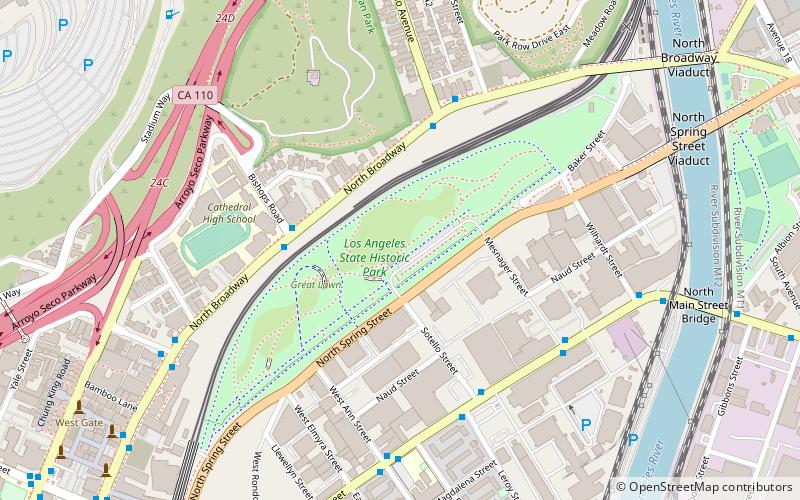
Los Angeles State Historic Park is a California State Park within the Chinatown neighborhood of Los Angeles. Also known as the Cornfield, the former brownfield consists of a long open space between Spring Street and the tracks of the Metro Gold Line. Located outside the main commercial and residential area in the northeast portion of Chinatown, the area is adjacent and southeast of the Elysian Park neighborhood. ()
Established: 2001 (25 years ago)Elevation: 299 ft a.s.l.Coordinates: 34°4'7"N, 118°13'52"W
Address
1245 N Spring StCentral Los Angeles (Historic Cultural)Los Angeles
Contact
Social media
Add
Day trips
Los Angeles State Historic Park – popular in the area (distance from the attraction)
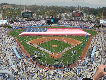
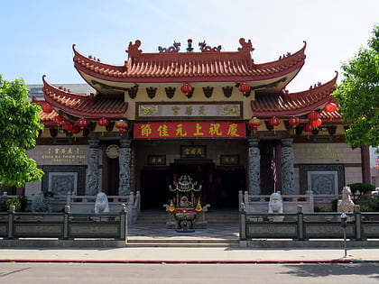
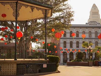
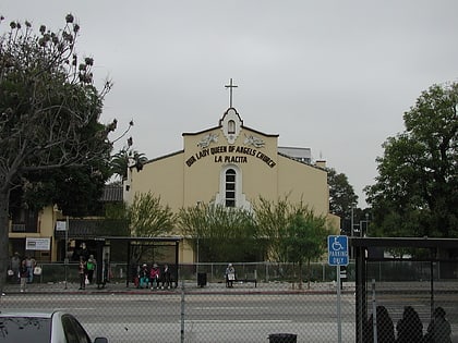
Nearby attractions include: Dodger Stadium, Thien Hau Temple, El Pueblo de Los Ángeles Historical Monument, La Iglesia de Nuestra Señora la Reina de los Ángeles.
Frequently Asked Questions (FAQ)
Which popular attractions are close to Los Angeles State Historic Park?
Nearby attractions include Zanja Madre, Los Angeles (3 min walk), Human Resources Los Angeles, Los Angeles (8 min walk), Materials & Applications, Los Angeles (8 min walk), Statue of Bruce Lee, Los Angeles (11 min walk).
How to get to Los Angeles State Historic Park by public transport?
The nearest stations to Los Angeles State Historic Park:
Bus
Light rail
Train
Metro
Bus
- Metro 76 • Lines: 76 (7 min walk)
Light rail
- Chinatown • Lines: L (11 min walk)
- Union Station • Lines: L (23 min walk)
Train
- Los Angeles Union Station (23 min walk)
Metro
- Union Station • Lines: B, D (24 min walk)
- Civic Center/Grand Park • Lines: B, D (33 min walk)

 Metro & Regional Rail