Lowndes Grove, Charleston
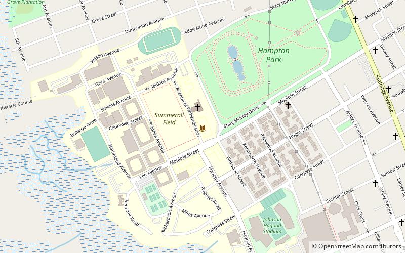
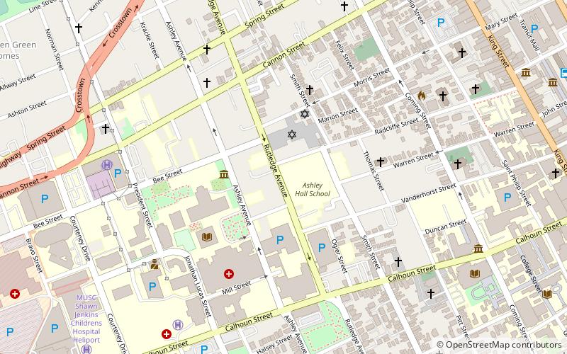
Map
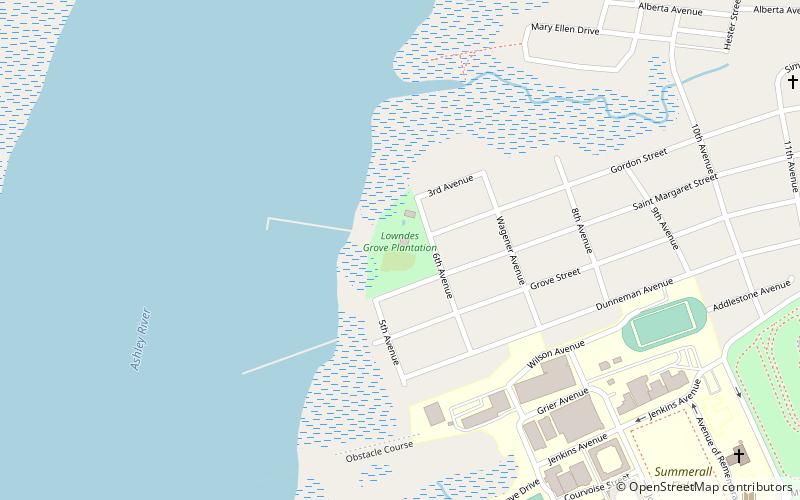
Map

Facts and practical information
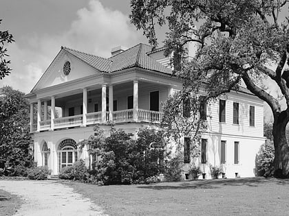
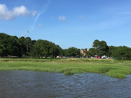
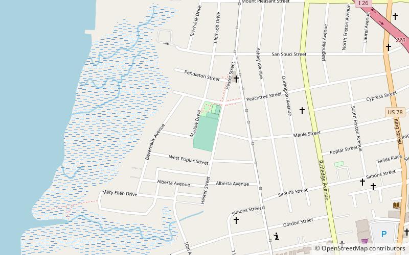
Lowndes Grove, also known as The Grove or Grove Farm, is a waterfront estate built in about 1786 on the Ashley River in Charleston. It is located in the Wagener Terrace neighborhood on a triangular plot of land bordered by St. Margaret Street, 5th Avenue, and 6th Avenue. It was named to the National Register of Historic Places on August 30, 1978. ()
Built: 1786 (240 years ago)Elevation: 3 ft a.s.l.Coordinates: 32°48'6"N, 79°57'59"W
Day trips
Lowndes Grove – popular in the area (distance from the attraction)
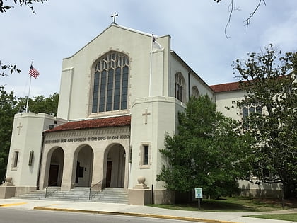
Nearby attractions include: Joseph P. Riley Jr. Park, Summerall Chapel, The Citadel, Denmark Vesey Monument.
Frequently Asked Questions (FAQ)
Which popular attractions are close to Lowndes Grove?
Nearby attractions include Summerall Chapel, Charleston (13 min walk), Daniel Library, Charleston (14 min walk), The Citadel, Charleston (15 min walk), Corrine Jones Playground, Charleston (16 min walk).
