The Savoy, Indianapolis
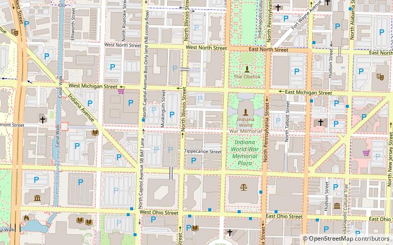
Map
Map

Facts and practical information
The Savoy is a historic apartment building located at Indianapolis, Indiana. It was built in 1898, and is a six-story, three-bay-wide, buff-colored brick building on a raised basement. It has rock faced arched entrance, oriel windows on the second through fourth floors, Romanesque Revival style arched windows on the top floor, and a projecting cornice. ()
Built: 1898 (128 years ago)Coordinates: 39°46'23"N, 86°9'33"W
Address
36 West Vermont StreetDowntown Indianapolis (North Meridian)Indianapolis
ContactAdd
Social media
Add
Day trips
The Savoy – popular in the area (distance from the attraction)
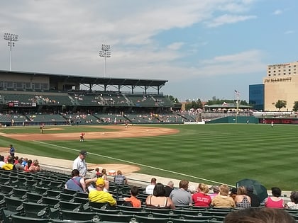
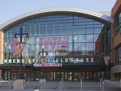
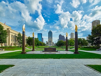
Nearby attractions include: Circle Centre Mall, Victory Field, Gainbridge Fieldhouse, Indiana War Memorial.
Frequently Asked Questions (FAQ)
Which popular attractions are close to The Savoy?
Nearby attractions include The Blacherne, Indianapolis (1 min walk), Indiana War Memorial, Indianapolis (3 min walk), Depew Memorial Fountain, Indianapolis (4 min walk), OneAmerica Tower, Indianapolis (6 min walk).
How to get to The Savoy by public transport?
The nearest stations to The Savoy:
Bus
Train
Bus
- FlixBus Indianapolis • Lines: 2511 (13 min walk)
- G • Lines: 39 (13 min walk)
Train
- Canal (19 min walk)
- Indianapolis Union Station (19 min walk)


